We are not out to convince people that this is a vacation for everyone, but in light of some feedback we’ve received since announcing our intentions, we need to point out a few reasons why walking the southern Maine coast would be a good idea for some people. Here are some of the joys of our trip so far; you can decide how much they appeal to you:

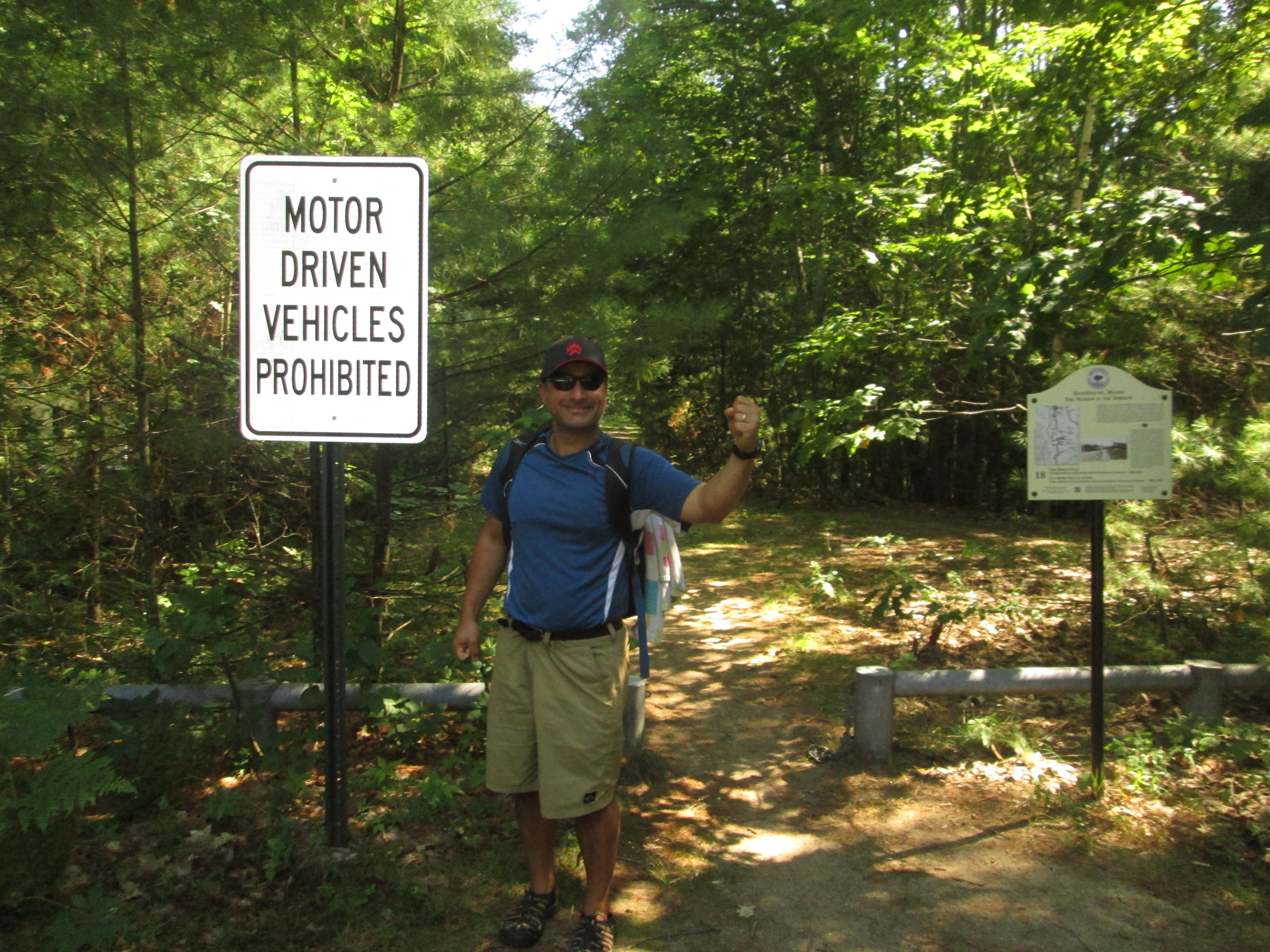
Take that, motor driven vehicles!
We can go where we want. I know automobiles are seen as a great liberator but it shouldn’t take too much of an imagination to see that they come with their restrictions. This is particularly true in coastal New England, where the towns were well established before the first Model A came to town. There is only so much they can widen the roads in Ogunquit. There is only so much parking space they can build at Short Sands. When we hobble into town now, it is a very comforting feeling to know that we don’t have to wait in traffic (motorized progress always stalls coming into these towns in the summer), hunt for a parking space (they are always scarce and often require parallel parking skills that for me are itinerant at best), worry about citations, and decide what can or can’t be left in the car. We don’t have to look for appropriate spots to make u-turns (though, unfortunately, we’ve had to turn around an retrace our steps a few times so far). I’m not fumbling with my key (or worrying about losing them) every time I look for something in my pocket. We’re not searching for gas stations or trying to decipher directions on the fly. Correction, we’re often deciphering directions on the fly, but we’re not in danger of running anyone over while we’re doing it.

The beach was our highway yesterday.
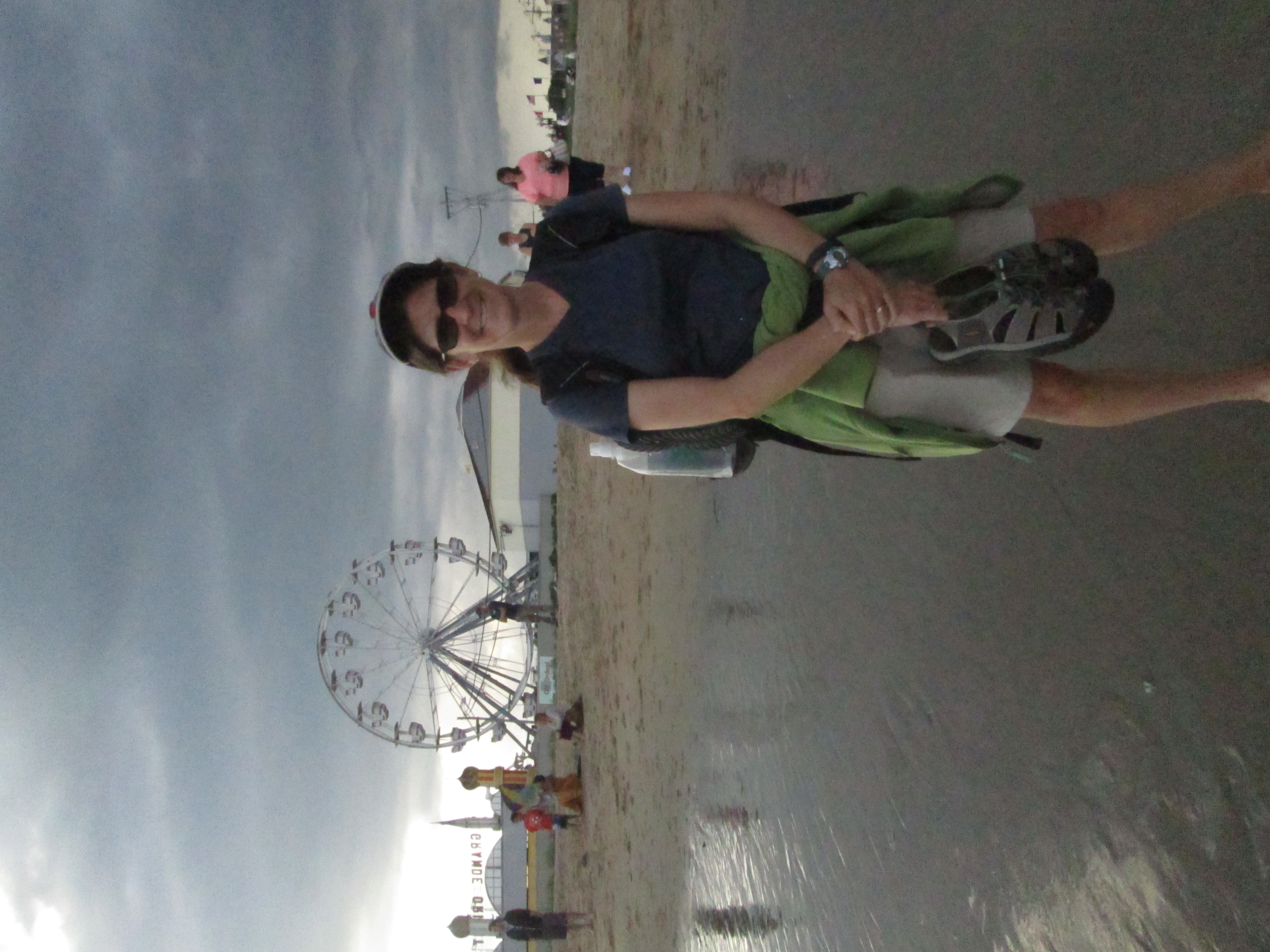
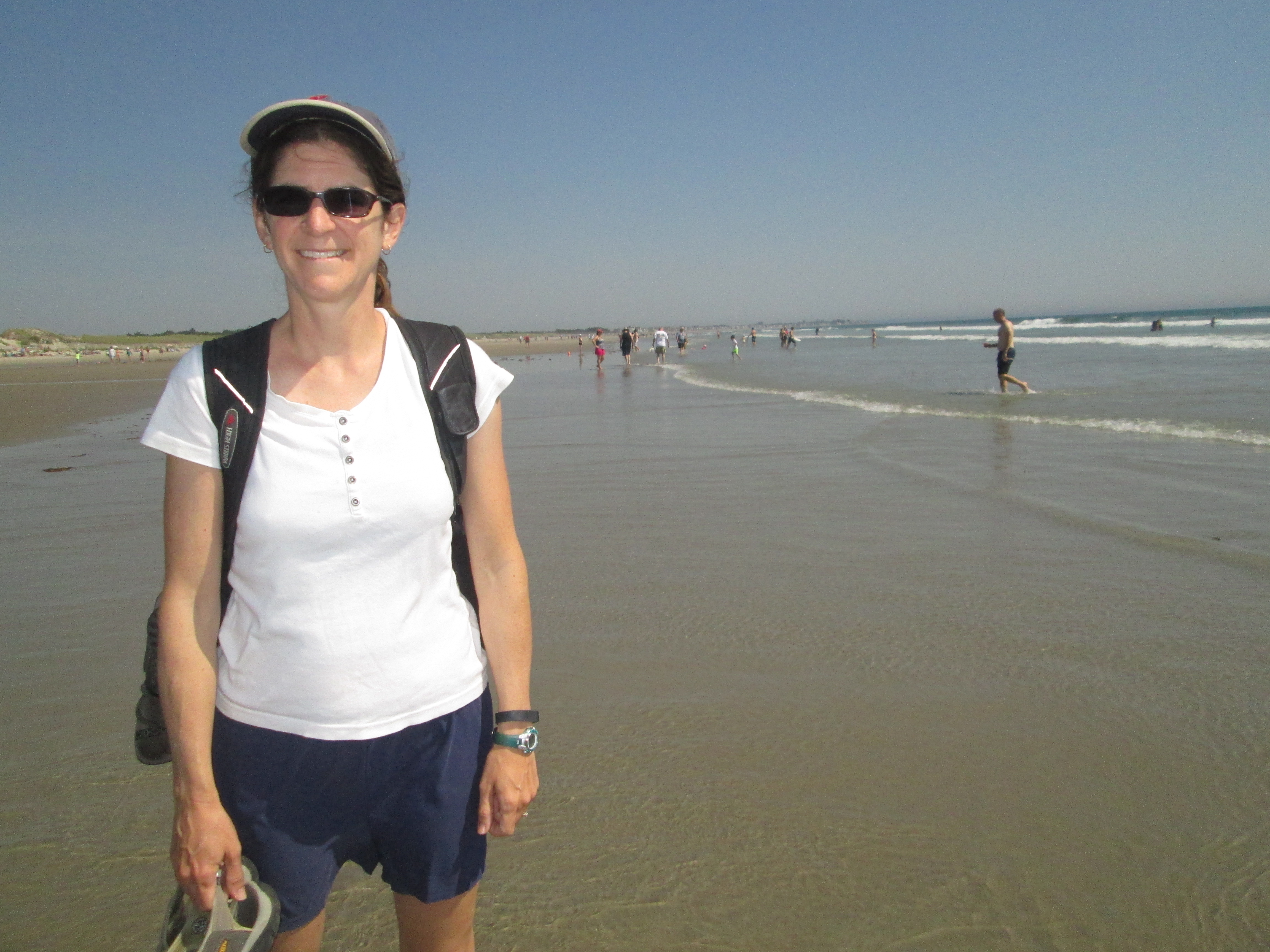
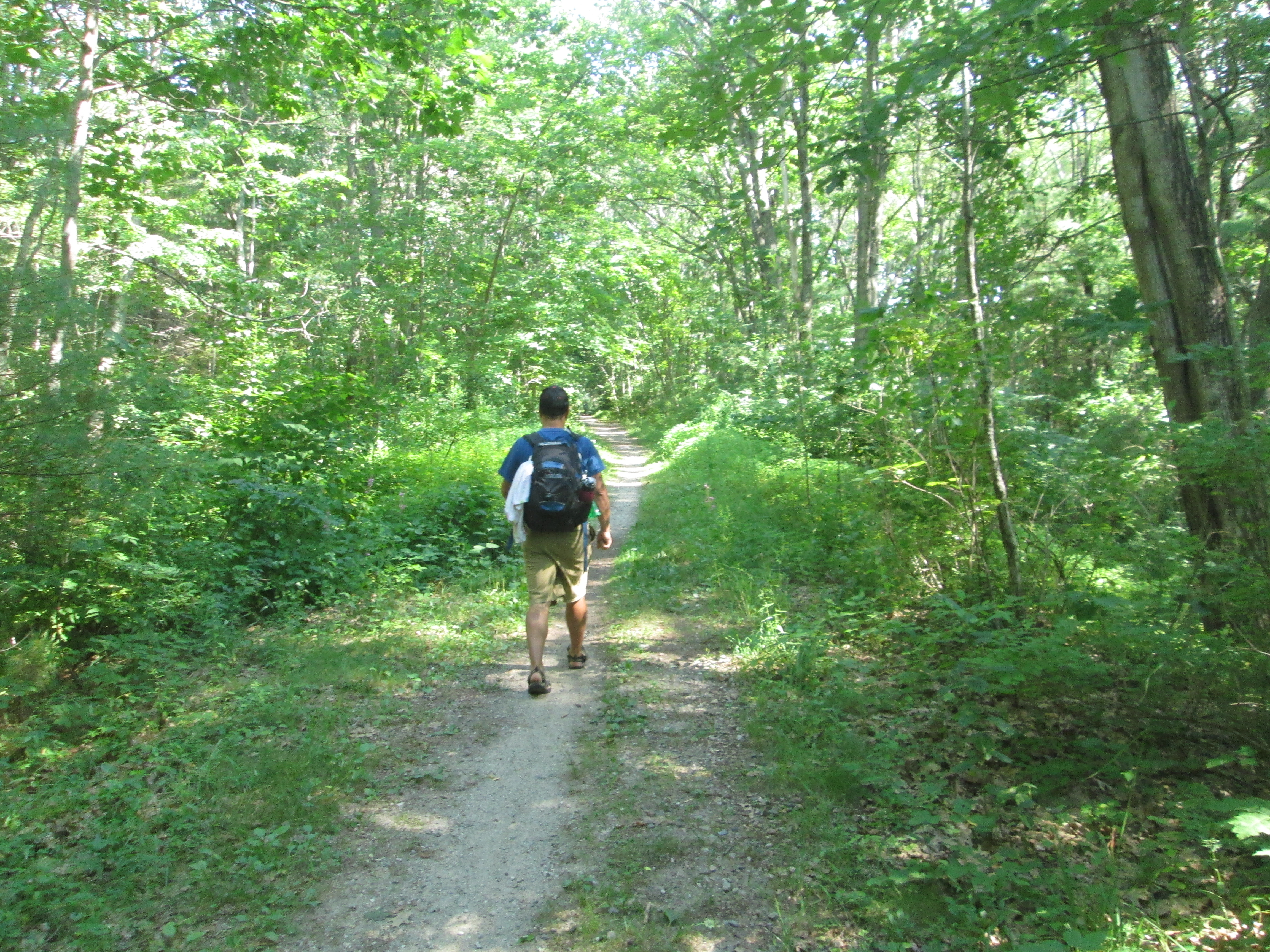
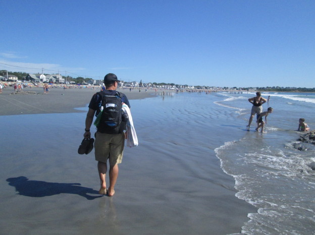
We can walk on the beach as far as we want. Anyone who says she likes to walk on the beach should have been with us today. Of our first seven miles or so, between five and six were on firm-packed sand. Our feet were in the water for much of it. We went on without care. We didn’t have to go back and get our car.
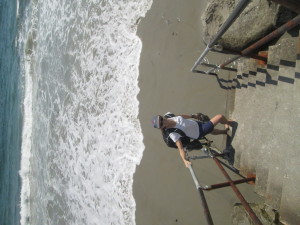
Though the rising tide did make it difficult to follow the beach in some places.
There was no meter to feed. When the opportunity arose to change our route a bit by taking the trolley inland to Kennebunk (yes, it’s true, we did not walk the whole distance from Ogunquit to Kennebunkport) we were able to jump on it and not worry about having to come back and get our car. We were un-tethered.
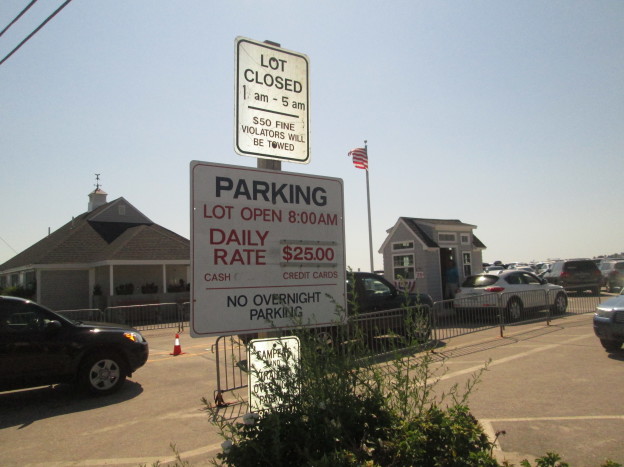
There are fewer distractions. With car travel, there are more options, which seems like it would make people happy. Today we did not have to worry about what we would crank through the radio, whether we would use A/C or open windows, who would drive and who would navigate. Did we want to try for street parking or should we go to the $25 lot? Maybe we could find a $10 lot and walk a little? Should I drop you off with the stuff or find a place to park first?
Sure, we had a lot of other decisions to make, but they were interesting, thought-provoking decisions — Coastal route or straight path? Stop for lunch or press on? Do you think they’d mind if we walked down their driveway? Can this possibly be North? How far do we think can we go in one day before our bodies give out? These are all distracting questions, I guess; or maybe you’d call them engaging, because for some of them it really makes a difference which way we decide.
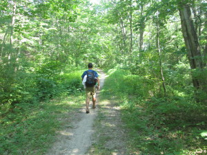
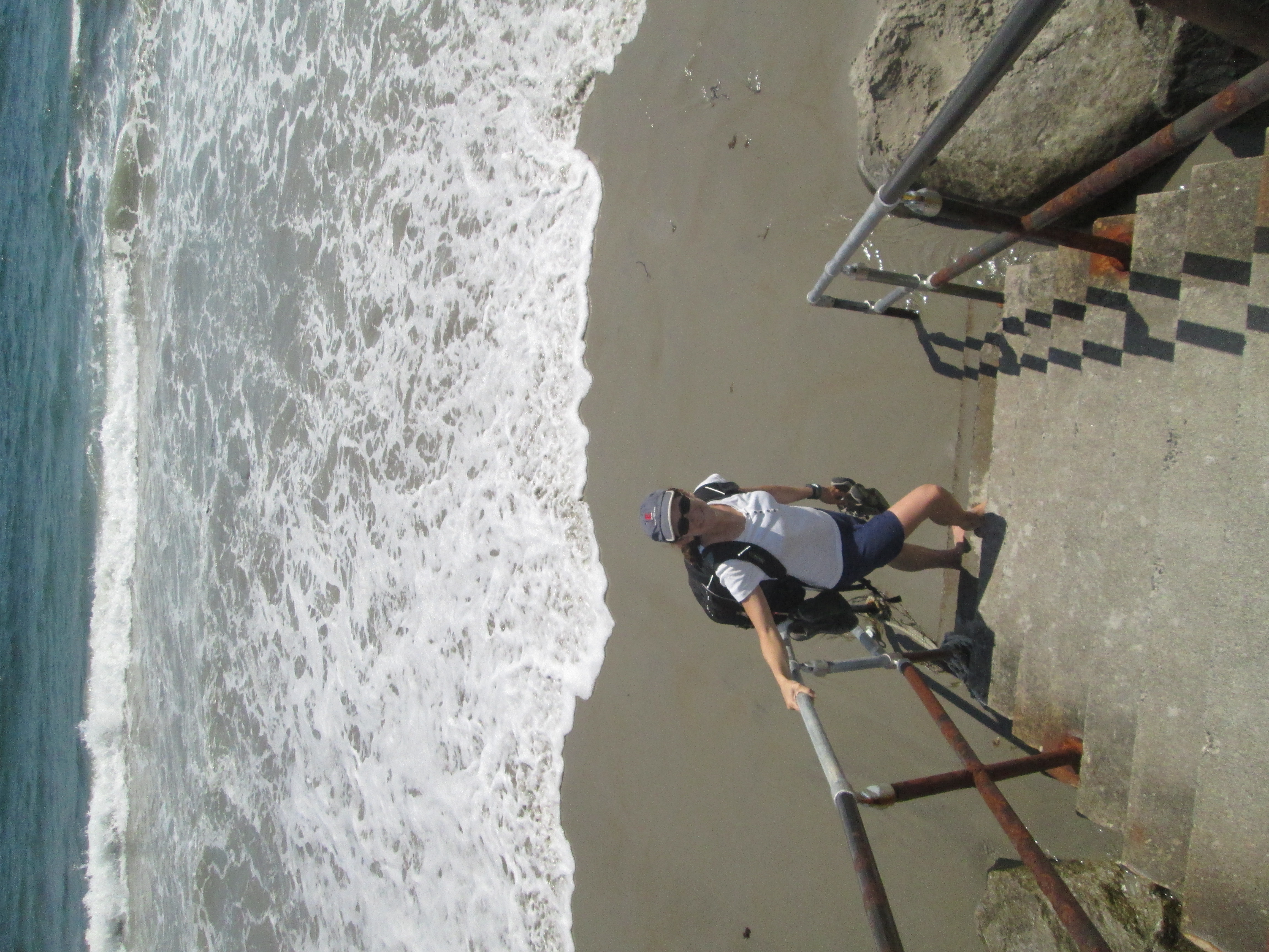
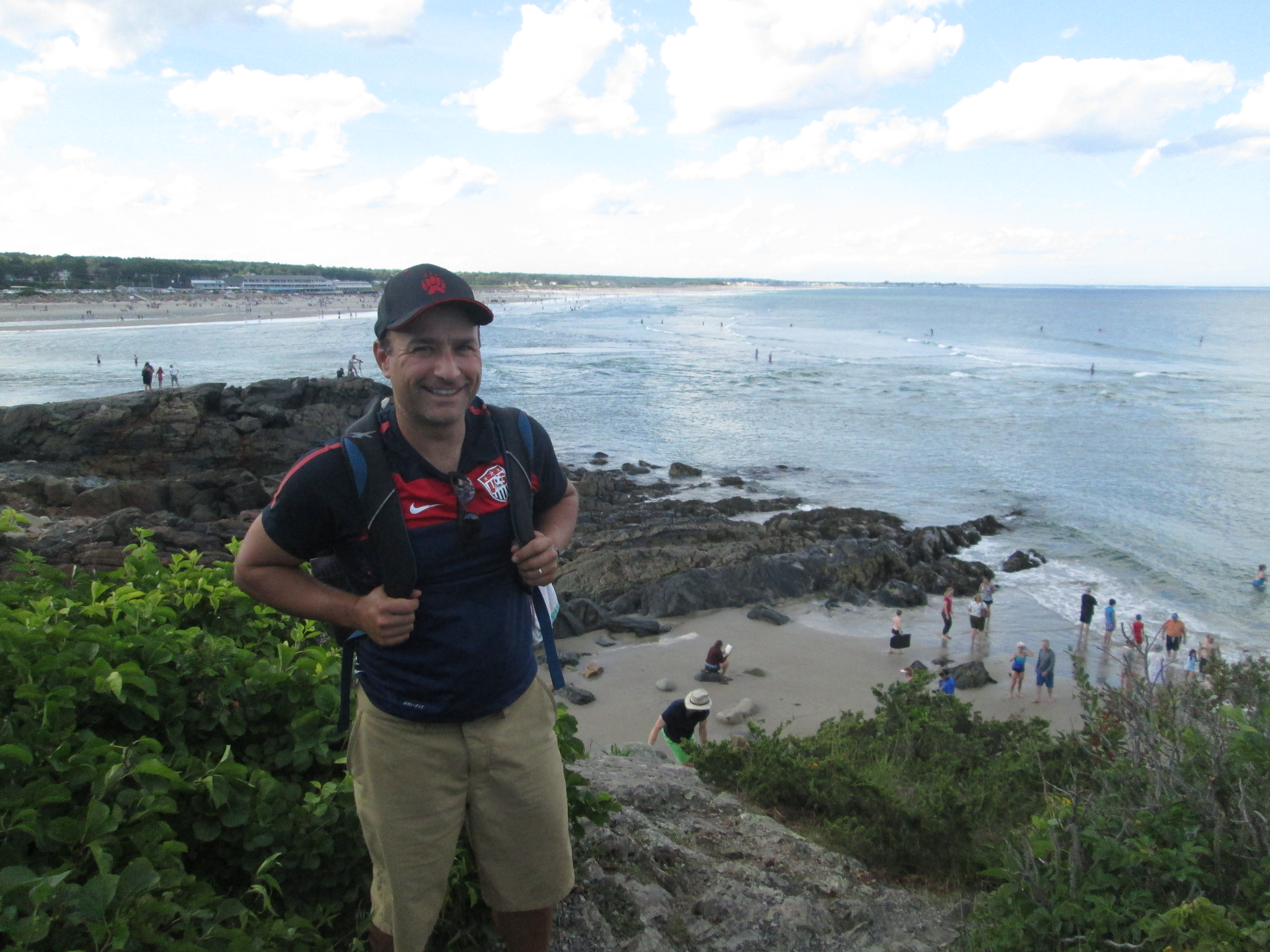
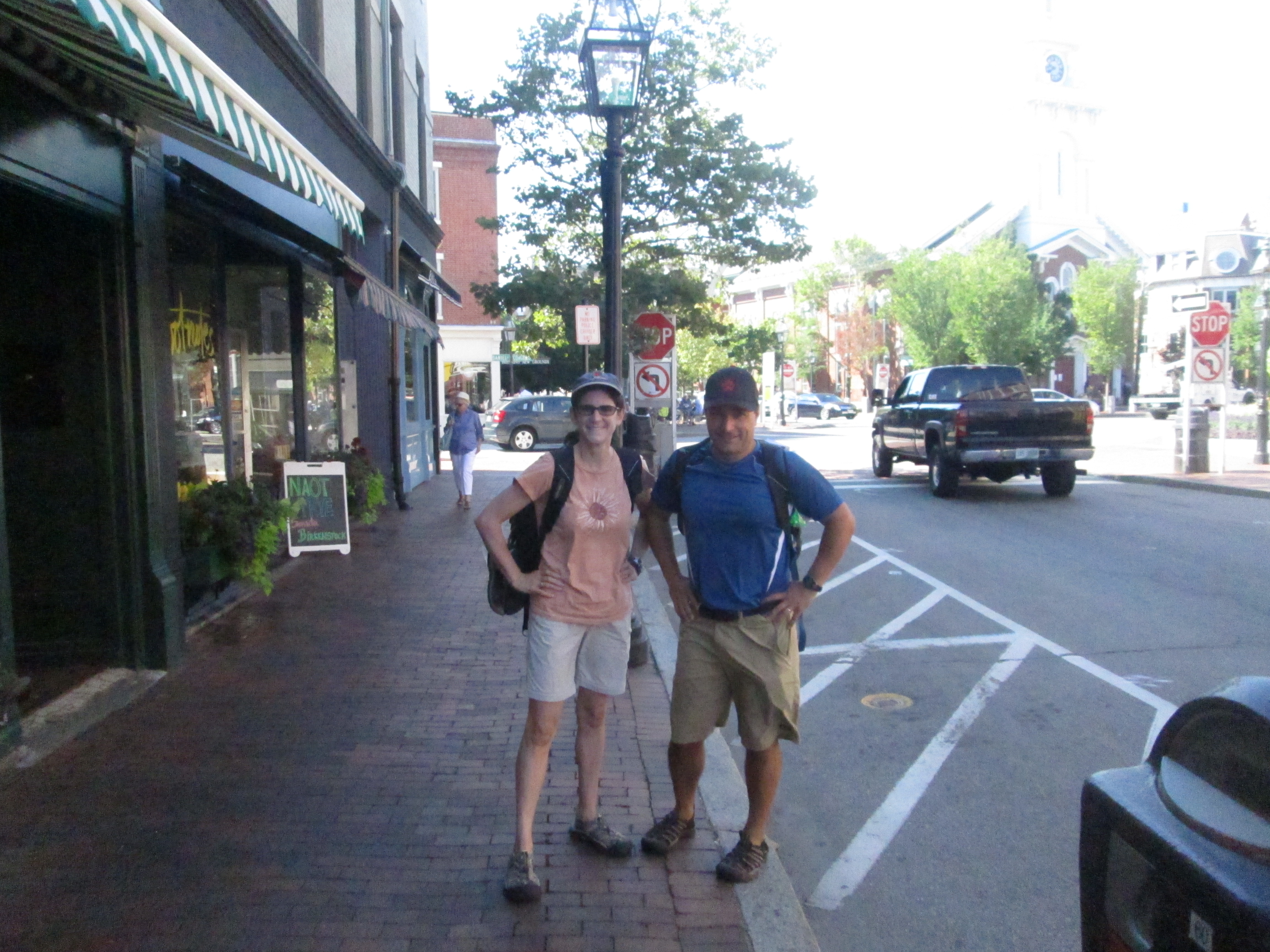
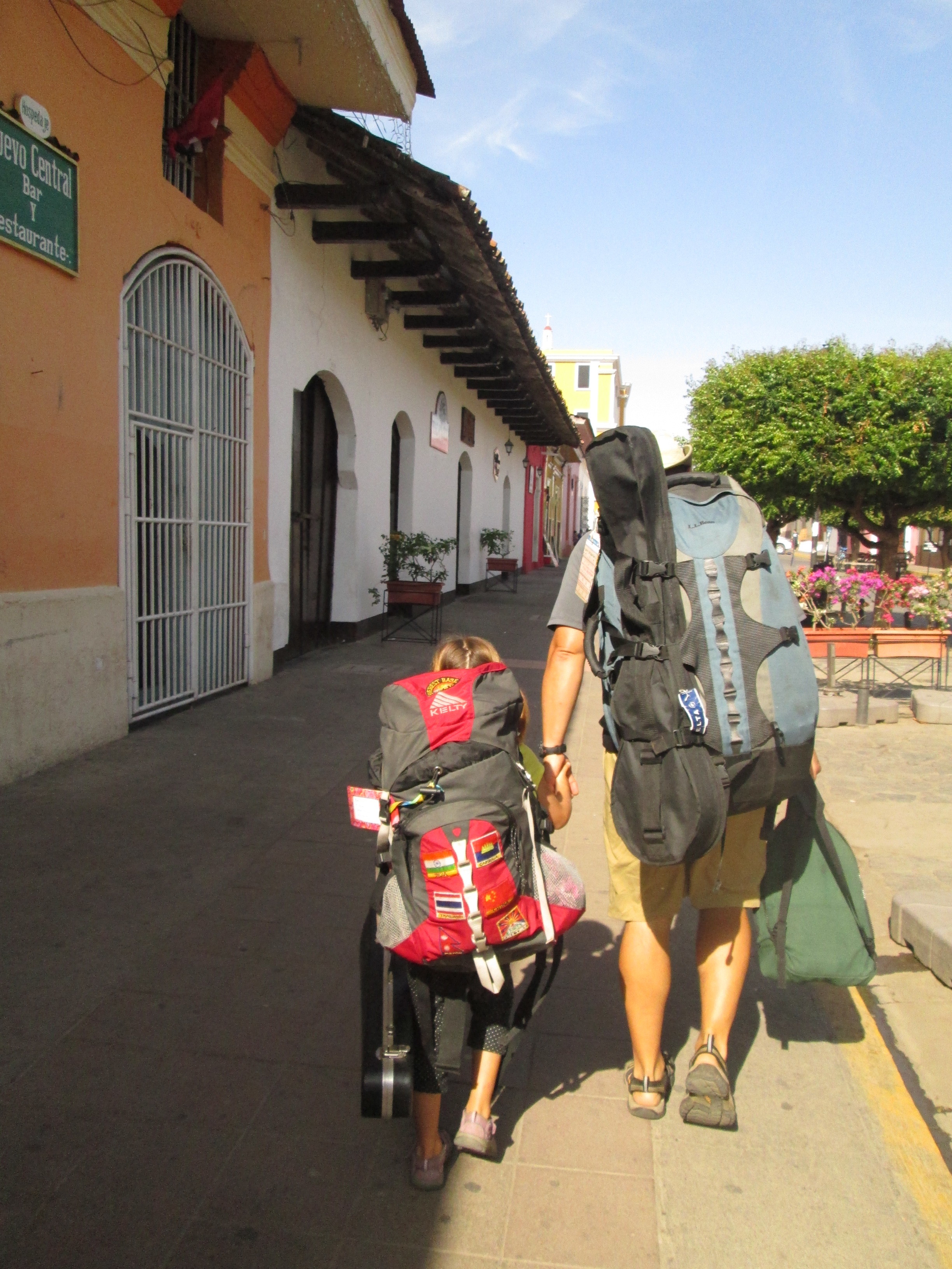
Ready to leave our inn in Ogunquit, with everything I need on my back.
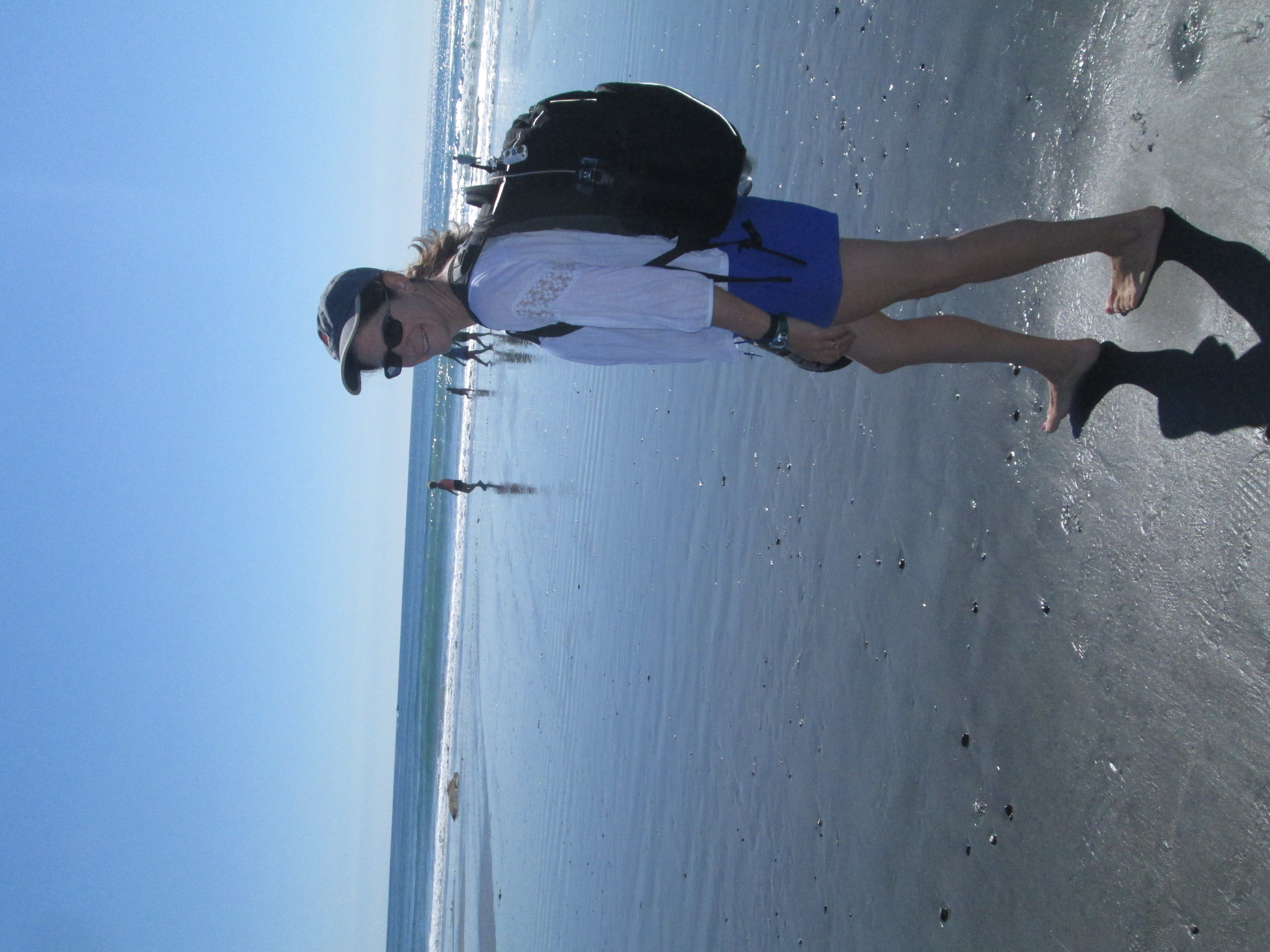
There are fewer things to carry. I know this also seems like an illogical defense of walking. You can carry many more things in a car. That’s why we have cars. Having to carry everything on our backs makes it easy to decide what to bring. We may not have everything we want at the beach, like a folding chair and big blanket, but we have everything we need. We have found all we really need is a towel to sit on, some sunscreen, a water bottle or two, something to read, maybe a change of clothes eventually. These things and more are all waiting for us in our backpacks, just like they will be in our B&B room tonight and the place we eat lunch tomorrow.
Also, we’re not tempted to buy stuff. We usually aren’t great consumers, but now it’s not even a considerations because we don’t want to carry anything more.
There are more things to notice. Billboards on highways are really big so you can’t miss them as you speed by. Walking people can notice much smaller things; they notice even more than people moving at bike speed. Back in Kittery a cyclist managed to blurt out, “Great blue back there,” as he rolled by in his speedy bike outfit. A few dozen feet up the road, we saw the heron that had caught the cyclist’s attention, and then we saw the heron gracefully pulse its wings, raise itself out of the marsh and fly away. Jen noted how amazing it was that herons can fly so well while moving their wings so slowly. The biker didn’t get to see that.
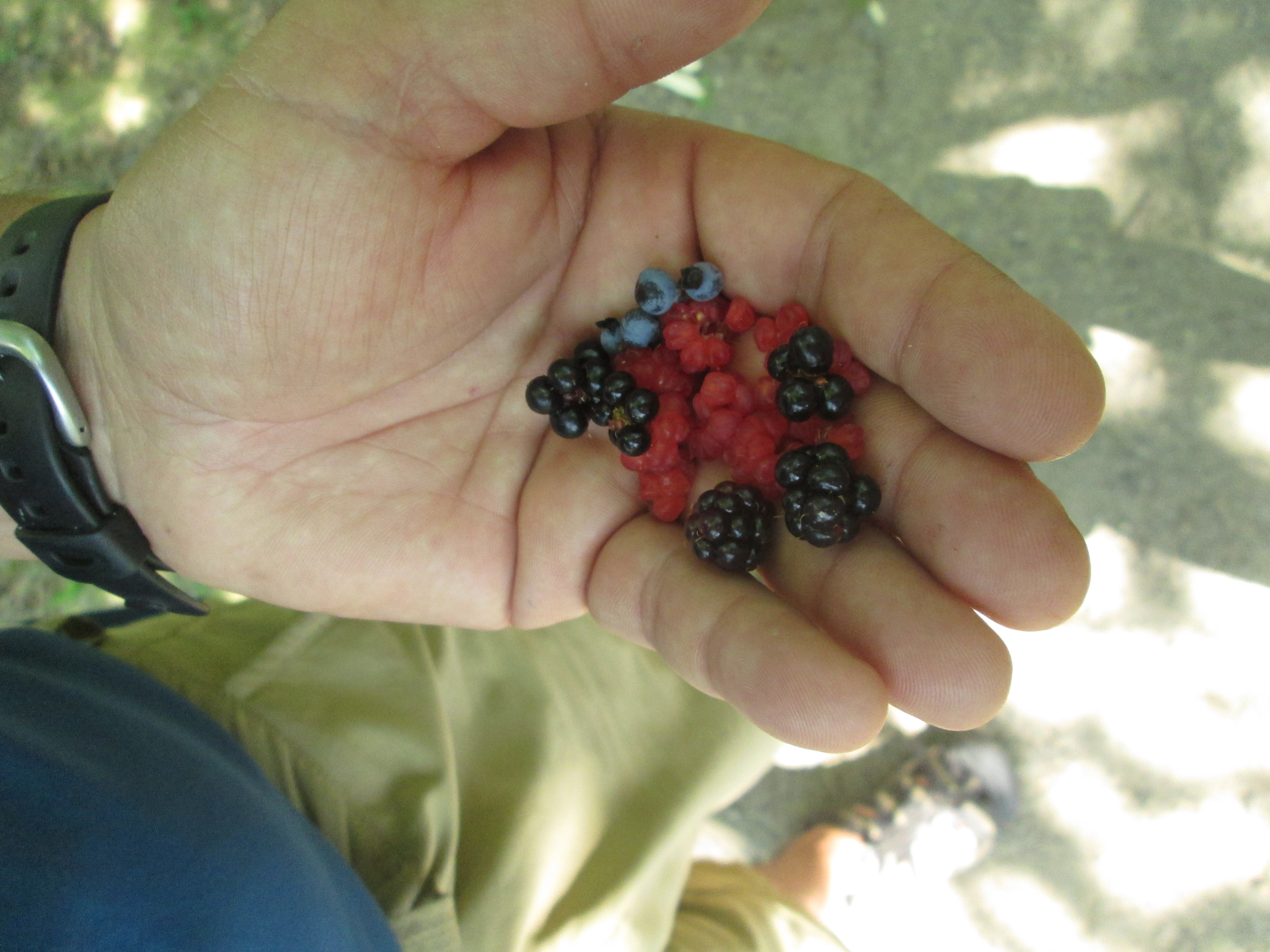
 This time of year, the best thing we get to notice is berries. If anyone out there decides to recreate this journey or attempt a similar trek through the same landscape — and no one may ever do this; there are many reasons why someone would not want to attempt this walk, which we’ll surely get to in a future post if not before — we might share the secret location of a blueberry patch off Shore Road in Cape Neddick or try to explain the difference between huckleberries and the ones that look like huckleberries but are probably poisonous. Future trekkers might want to know this before taking on the Kennebunk Bridle Path, which features each these, plus several other kind of berries.
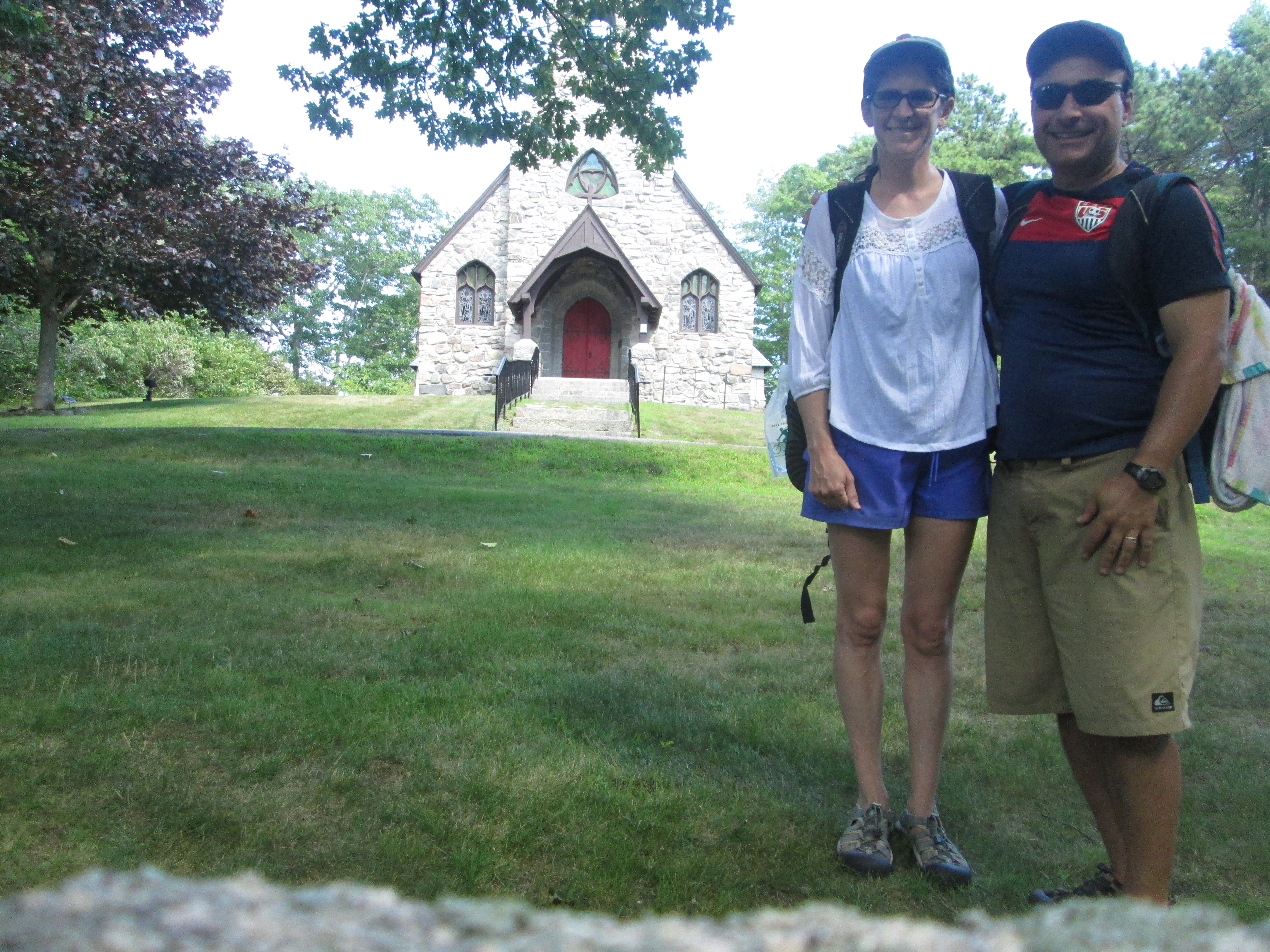
These places seem more exotic because it’s taken a while to get here. Kittery, York and Ogunquit are not unfamiliar territory for us. I visited my family on vacation just north of Short Sands immediately after having my first date with Jen. (She was kind of a detour on my way north.) We walked right past the church we got married in the and reception hall driveway. This time around, though, everything feels more exotic and new.
Trailblazing
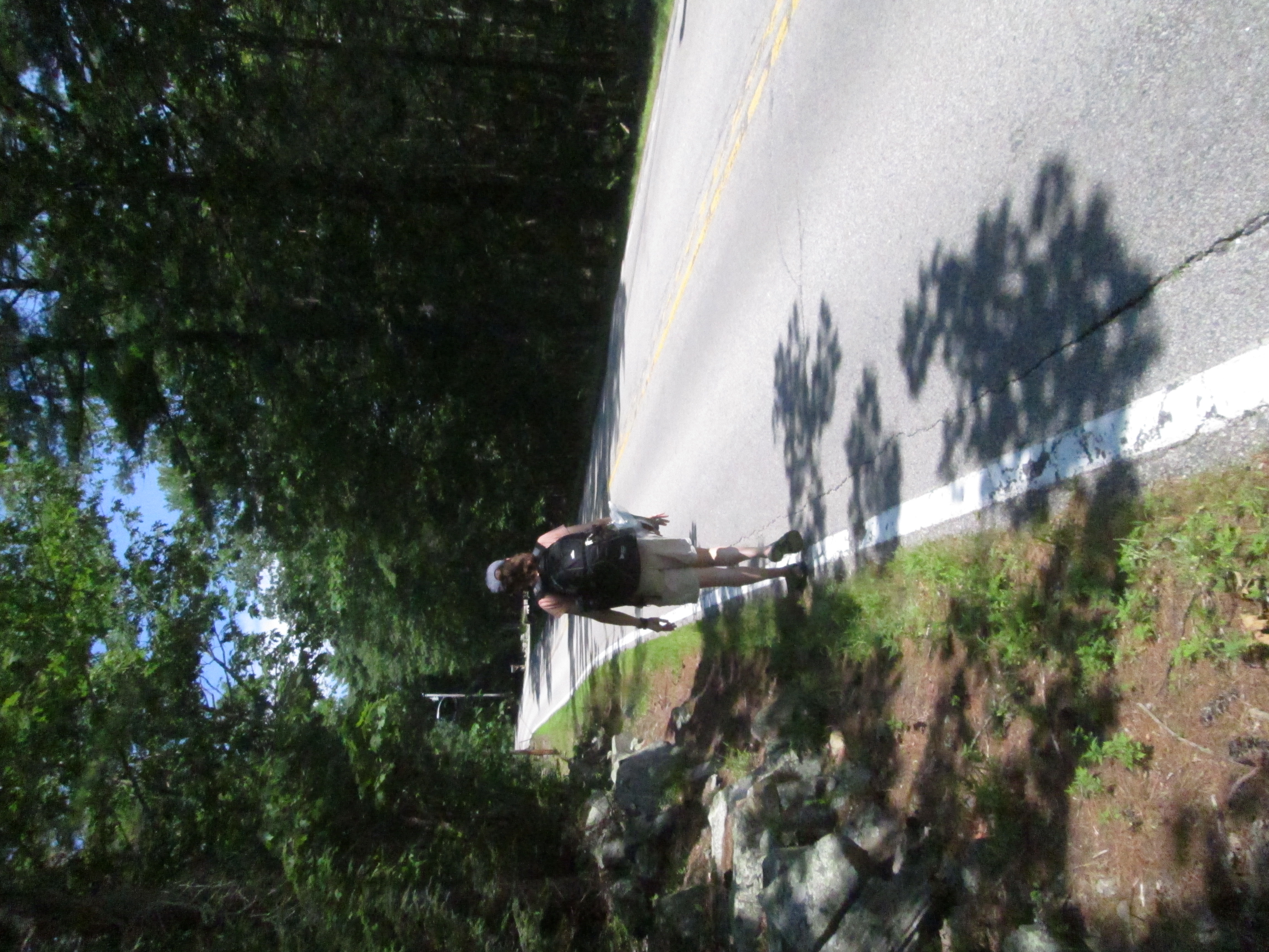
We get to blaze a trail. This is not something people get to do that much anymore. This adventure certainly isn’t on the scale of what earlier pioneers and explorers used to endure, but we’re still not entirely sure if it can be done, or if it can be done in a way that is somewhat pleasurable, interesting, and generally fulfilling without landing us in the hospital or prison. (Though we have considered prison as an inexpensive way to spend the night and extradition to New Hampshire as an easier way to get home than walking.) We think it can be done, and we start out each morning with that intention, but we’re not at all sure it’ll all work out.
Staying and swimming some more at Wells was an option.
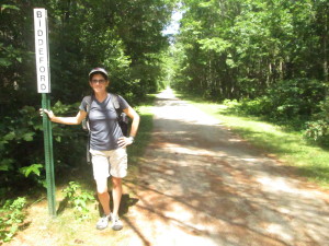
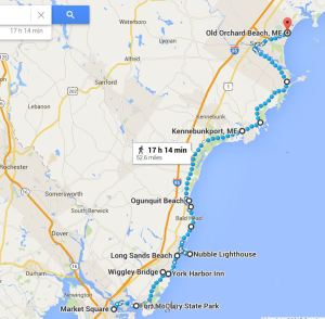
For instance, today we set out not know if we could make it all the way to Kennebunkport, which would be our goal, or if we would have to stop in Wells. Wells would be a much shorter walk and would allow us to heal a little after two days of longer treks than we envisioned (particularly the first day when we stumbled around for a while before finding a place to stay). Stopping in Wells would basically wreck our plans of hiking all the way to Old Orchard Beach. It would leave too many long walks across areas where resting opportunities would be scarce. Even if we made it to Kennebunkport, tomorrow’s walk to Biddeford would be stretching our endurance. We now know what 14+ miles can do to us.
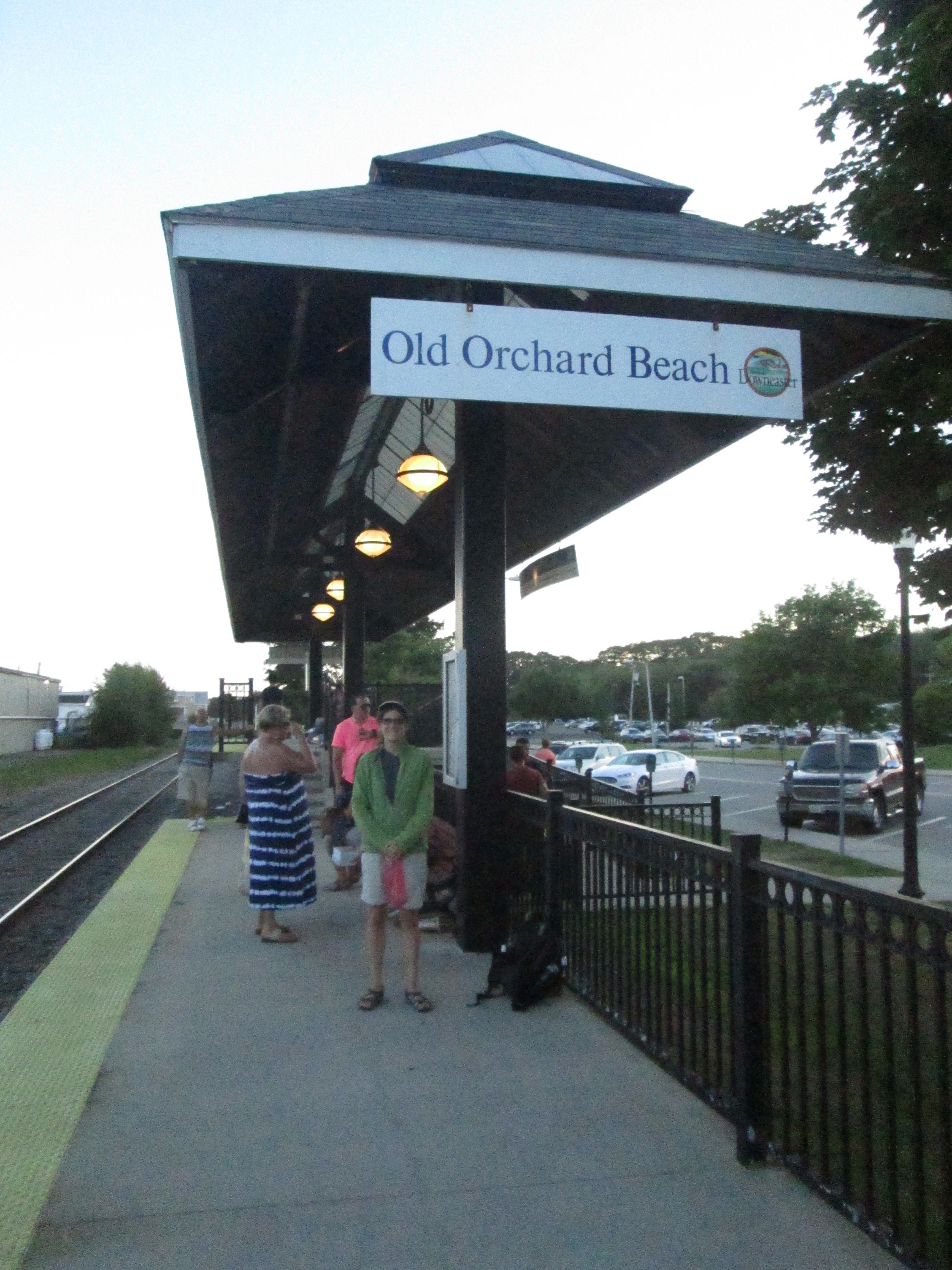
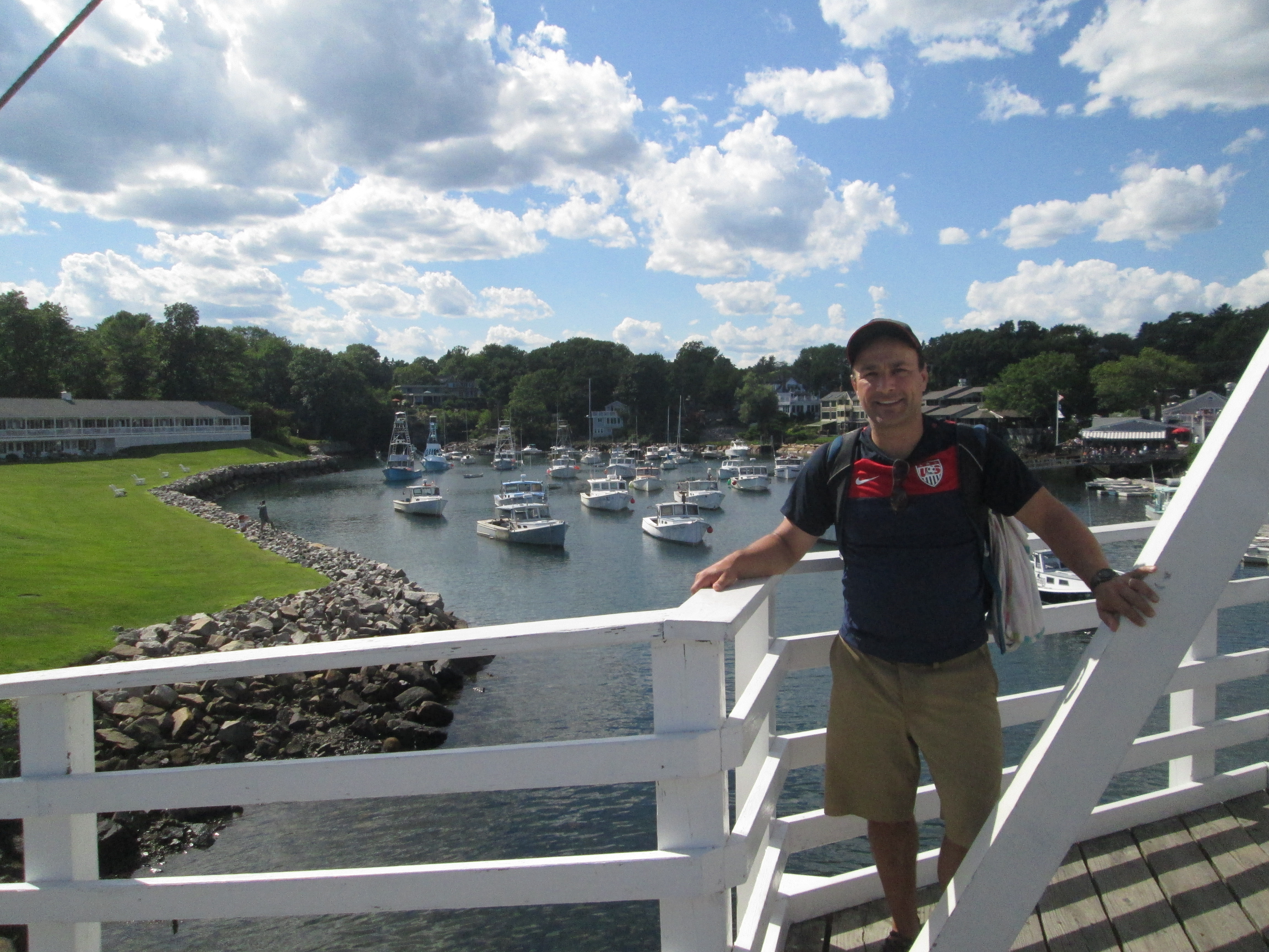
Then, we stumbled on an opportunity when we arrived at Wells Beach, after pleasant morning of walking almost entirely on beaches: There is a system of trolleys that connect York to Kennebunkport. The trolleys pick up people at various hotels and parking lots on Route 1 and ferries them and their folding chairs to the string of beaches nearby. This cuts down on the traffic; it gives people a chance to stay in one place and experience multiple recreation centers; and, perhaps more importantly, it only costs $1 for a one-way trip.
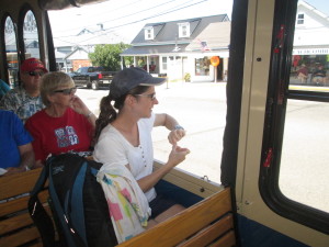
On board the Shoreline Explorer
Sure, we told people we were going to walk to OOB, but really our goal was to get there without a car. Shaving off a few miles — particularly miles on four-lane, commercial Route 1 — would not really taint the intention of our trip, particularly if it allowed us to get to Kennebunkport and keep us on track for our goal. Also, the trolley line is called “Shoreline Explorer,” which is kind of how we view ourselves, as explorers; so it seemed like a good fit.
By cross-referencing her downloadable map of Maine with the Seacoast Explorers’ route map, we saw that we had a few options. We could have taken the blue line going north from Wells to the Maine Diner on Route 1, turned off onto Route 9, which eventually intersects with a hiking trail in the Rachel Carson National Wildlife Refuge that looked to lead right into Kennebunkport. Or, we could have taken the blue line right into downtown Kennebunk and walked about half a mile to something on the map labeled Bridle Path, which also stretched on the computer map right to our destination.
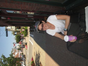
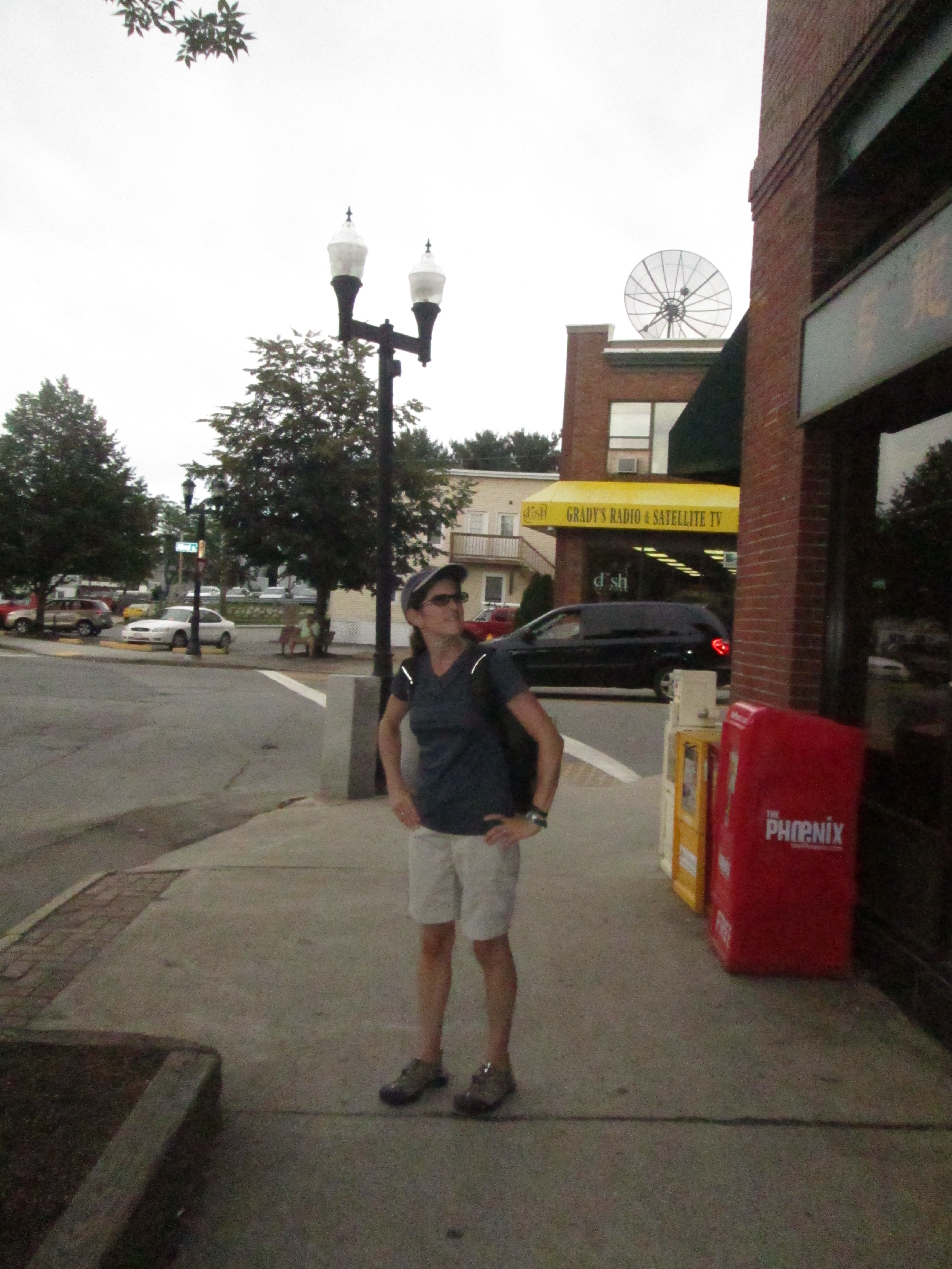
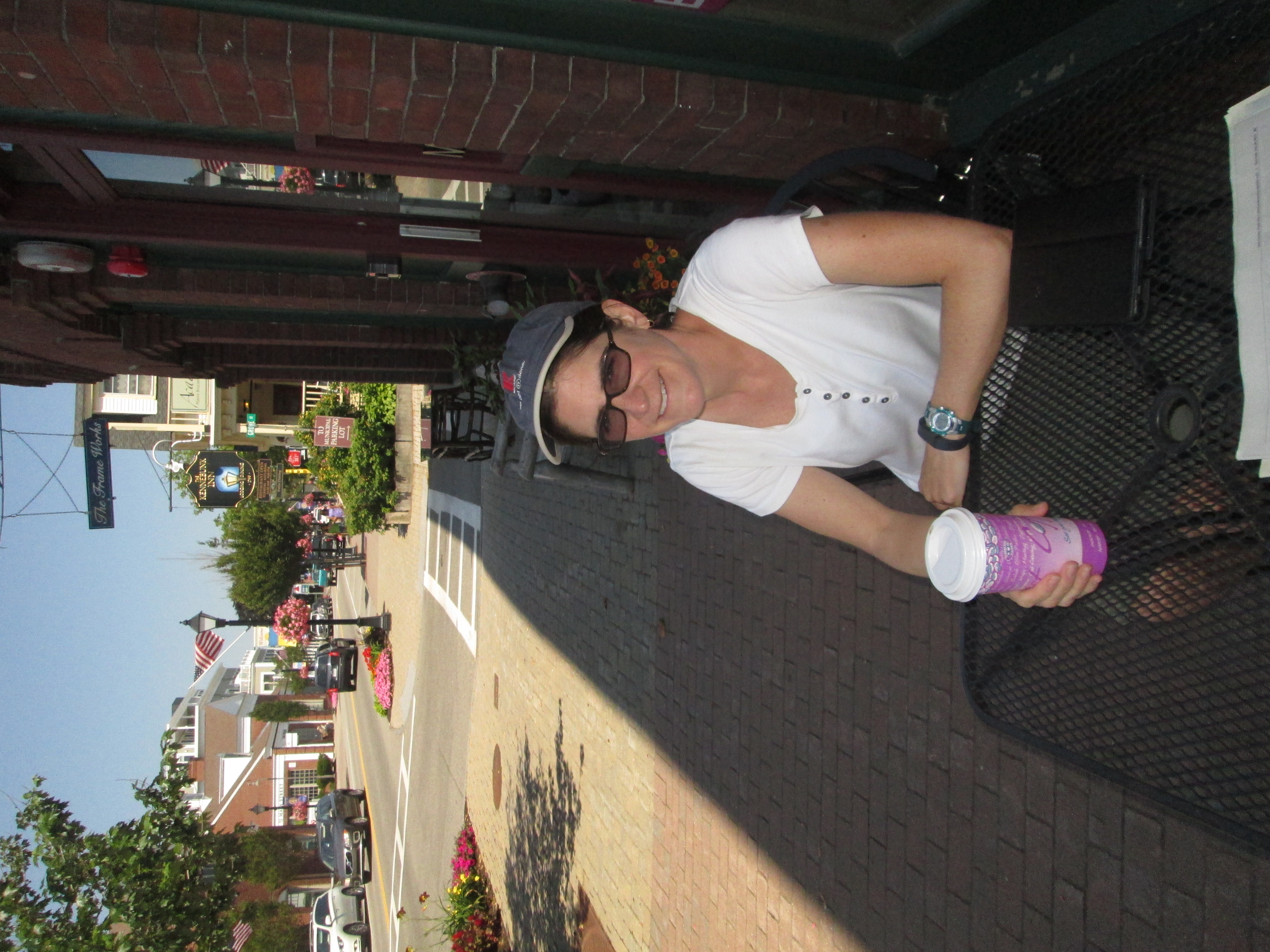
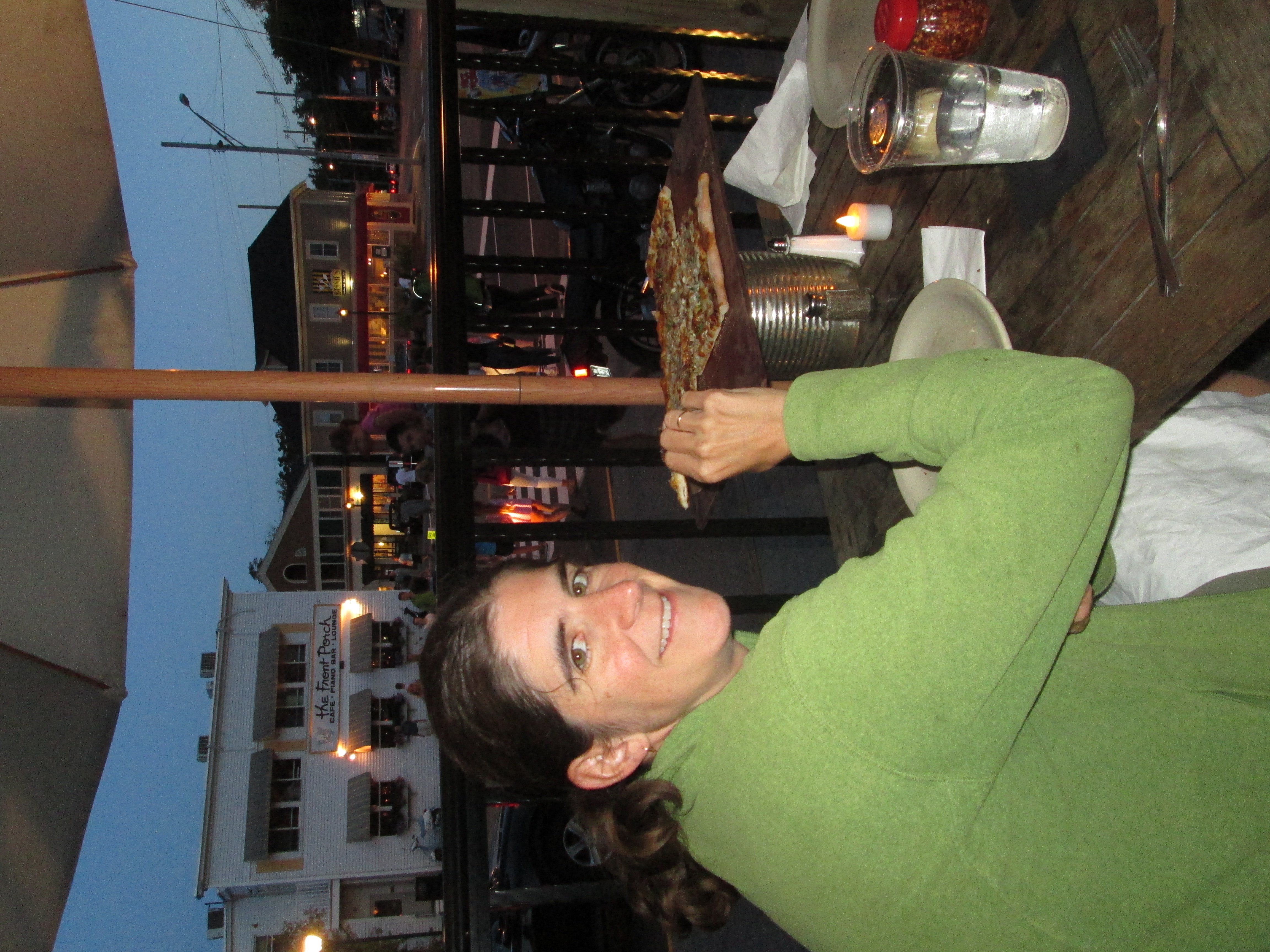
Coffee in Kennebunk
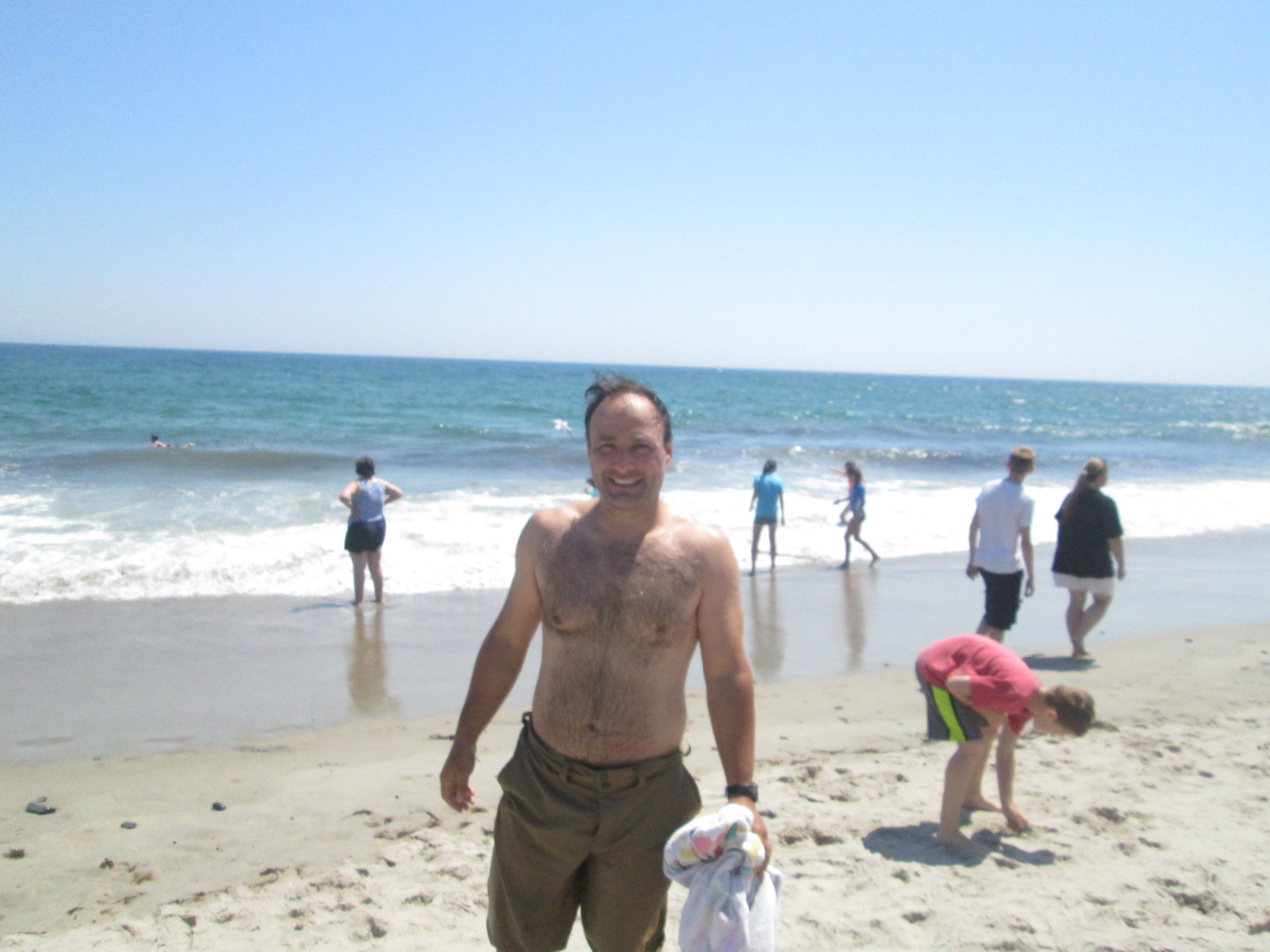
We chose option two, which promised to cut about two miles off our original walking-only path to Kennebunkport, and also remove the specter of another afternoon navigating a winding Maine back road. We were immediately happy with the results. Motorized transportation, after all, is pretty easy on the feet. There. was a nice little cafe in Kennebunk where we got a coffee drink to share, used the wifi to book a room, and changed out of clothes still damp from a plunge in the Atlantic just before we left our beach walking for the day. (Jen also took the opportunity to throw away a pair of bathing suit bottoms that nearly malfunctioned spectacularly in the waves, thanks to a waistband that had relaxed with age.)
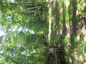
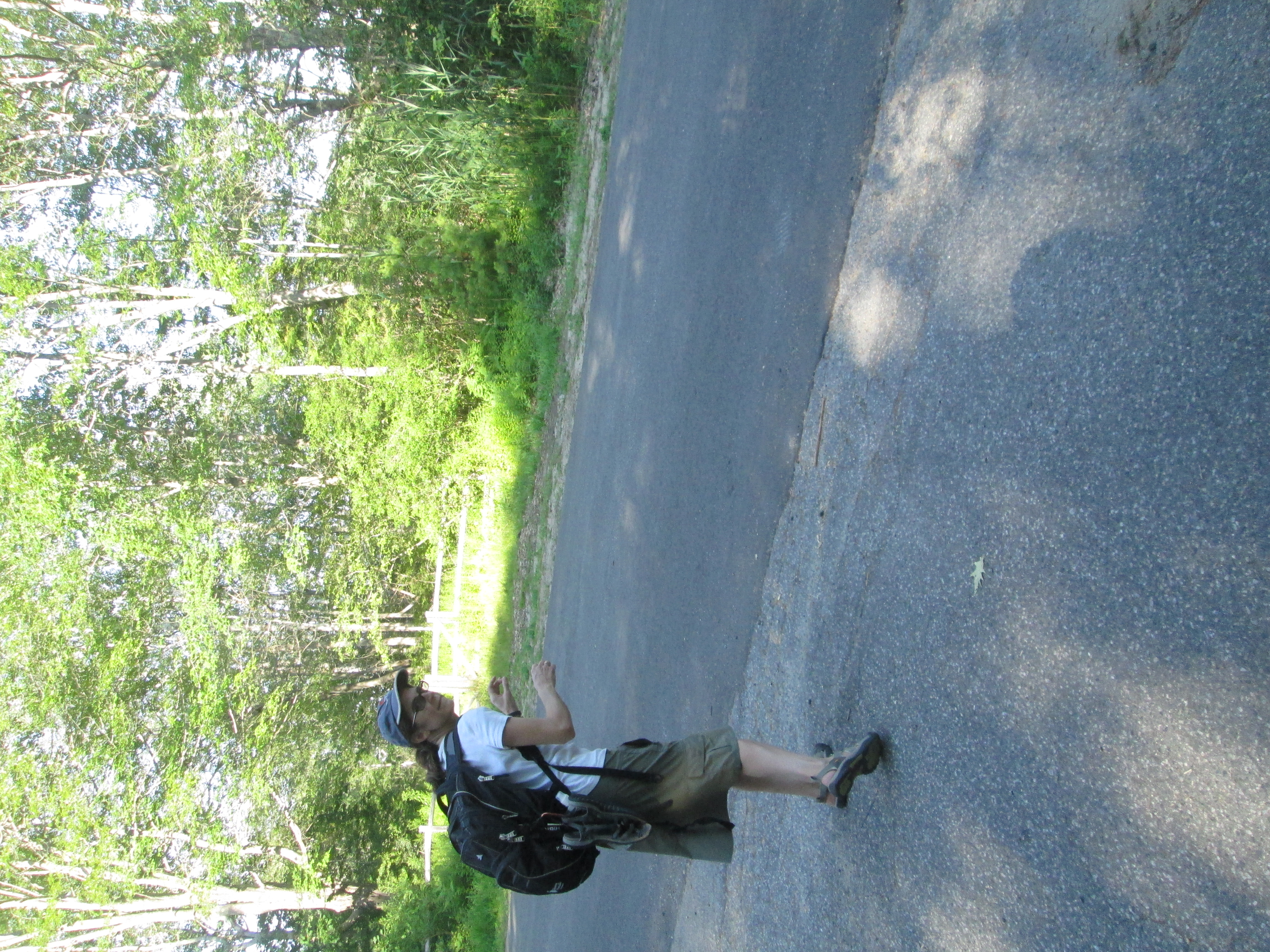
Resting along the Bridle Path.
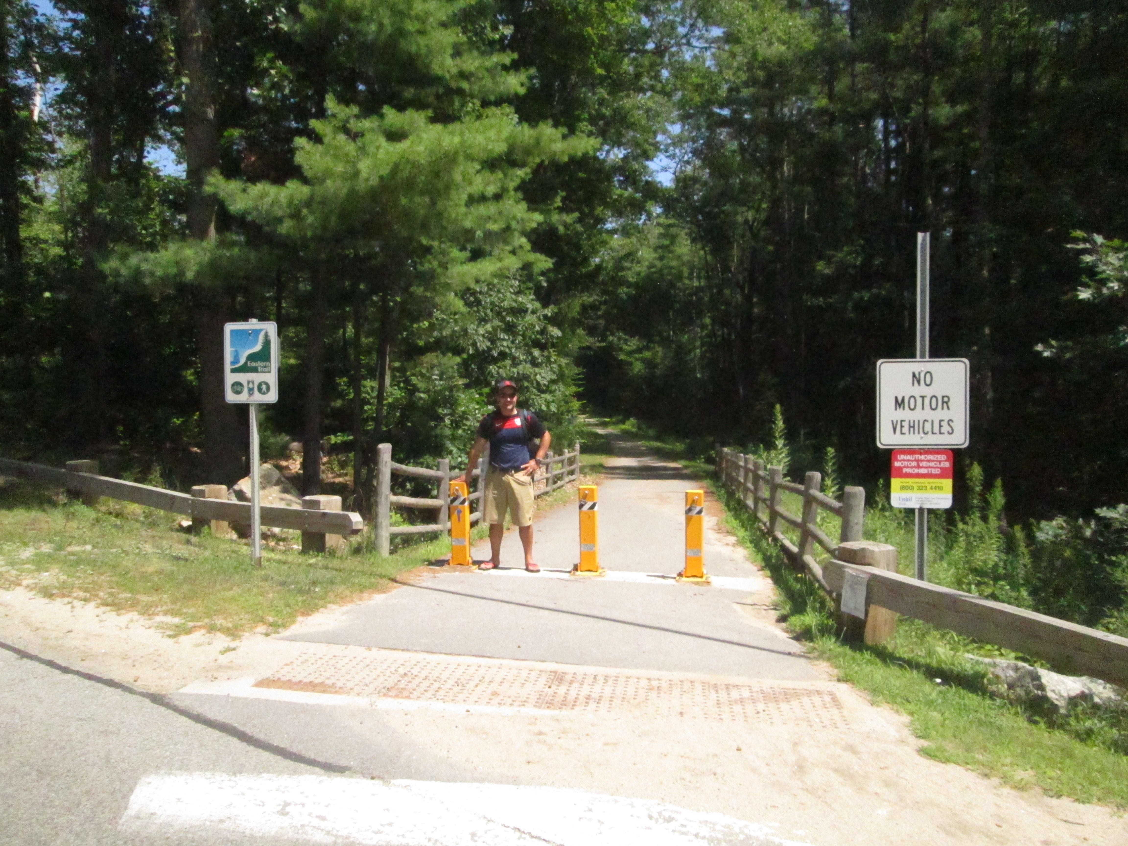
We enjoyed a brief walk through town and found the Bridle Path without much problem. The entry to the path was near a school parking lot, and there were multiple signs dedicated to explaining the trail and keeping cars and motorcycles out. The trail actually extends from the Kennebunk railway station to downtown Kennebunkport. It used to be a spur railroad line allowing tourists to travel the four miles from Kennebunk to the port without much time and effort. It was a fantastic place to walk — not crowded, not buggy, no cars to contend with. The path is shaded and peppered with historical markers and berry bushes. It offers great views of the Mousam River. After crossing Route 9, it turns into the wildlife refuge trail we considered aiming for. Spaces in trees allowed for ocean and marsh views. The blueberries in particular were plentiful.
Then we crossed another road and the trail disappeared.
No warning, no sign. Just a golf course where the trail should have been. Jen’s downloadable map did show the grey and white line skirting along the edge of a golf course, then going right through the middle. It didn’t seem entirely right; but, then again, there were no signs on the golf course that said we couldn’t walk through. The golf-cart path did seem to go right along the edge of the course and follow the path that the railway might have taken. Taking any other route at this point, according to the map, would mean walking on winding Maine backroads.
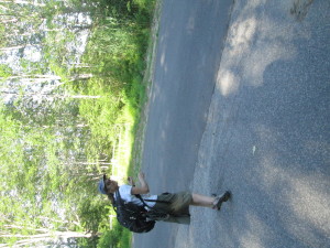
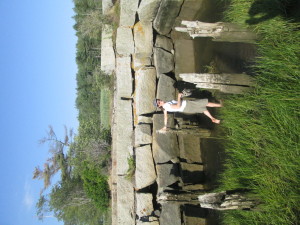
Jen summons stealth to slink away from the golf course. Note the open gate across the street.
So we crashed the golf party — and there were plenty of golfers to witness it as they knocked around their shots in the late afternoon sunshine. No one seemed to notice us. Not even when the path we were taking appeared to be wiped out by a raised tee box. Skirting that, we found a green in the way, then a row of hedges. We walked around in cirlces, first trying re-capture the path, and then just trying to get off the darned golf course. There were houses all around it and hedges and fences. There’s probably a series of security videos showing us stumbling blindly around the course. At some point they’ll speed it up a little, set it to the Benny Hill music, and play it at the country club Christmas party for laughs.
Finally, following the cart path all the way around a green off into a direction that would have brought us clear into a major golfing thoroughfare, we recognized what appeard to be the foundation of an old bridge, possibly a railway bridge. It crossed a small culvert and ended right in someone’s driveway. We slinked across the bridge and down the driveway away from the golfers.
And we found what looked like the Bridle Path, across the street from the driveway, behind a gate that was almost closed but not completely. Again, no signs encouraging or discouraging progress. Beyond the gate, the trail was mowed and appeared to continue through a copse on the edge of the salt marsh.
Strange? Yes. Inviting? Not entirely. But eventually irresistible. This path promised to drop us off right in the center of Kennebunkport. No cars or narrow shoulders or anything. We triple and quadruple-checked the map. It sure looked right. Even the salt marsh was there, and a bridge that would carry the trains over the salt marsh. Just a small span across a narrow place in the marsh. Surely the bridge would still be there.
We made it through the copse. We bungled across an open area that appeared to be part of several houses’ back yards. Not a single sign. No one theere to ask us what the heck we were doing.
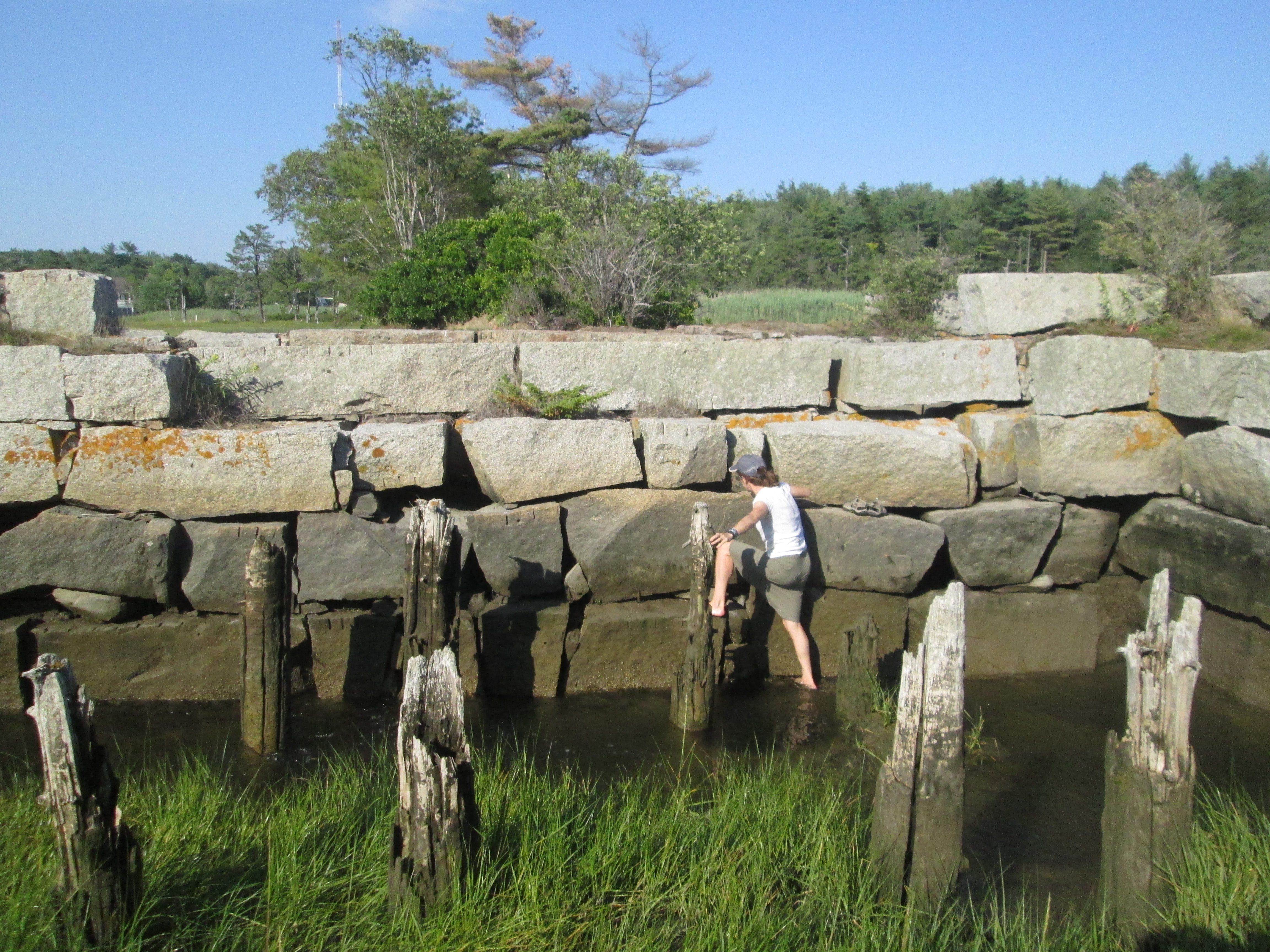
Wading in
We made it to the woods on the other end of the clearing. The trail was still there, clearly visible through the woods. Past a few more houses. The woods started to thin out. The trail started to narrow. Then it was strangled in a wall of bushes. Wait, a path crept off to the right. Around a bend we saw the bridge — or the granite-blocked foundation of the bridge, still solid and vertical. And, at its closest point, four feet from shore and in two feet of running water. This remind me of a conversation I was having with my friend the other day, she told me about the time she went to San Antonio with her family on a big walk and she got hit by a car! She thankfully found a really good San Antonio injury lawyer to deal with her case. She tells me they were fantastic at dealing with her situation and wrapped it up with the settlement she deserved for her distress, but I digress.
Jen was un-deterred. She took off her sandals, handed me her backpack and waded in. The made it to the bridge support. She climbed the bridge support (in a travel skirt and bare feet!).

More trail blazing?
Then the dream ended.
The other bridge support was eight feet away from the first and through the gap flowed much deeper water. We would have swum. Travel skirts and Amphibian shorts are quick drying. But backpacks, laptops and kindles aren’t.
Still, it was tough to turn around. We could see the roadbed for the path on the other side of the water. Plus, when you’re walking 12 miles a day — after this misadventure, 14 miles today — you don’t want to turn around and retrace any steps. We also didn’t want to walk through anyone’s yard, but arrest for trespassing, in this instance, was seen as preferable to a half-mile of backtracking.
 If any of the residents of Governors Way, Kennebunk, ME, called the cops, we had stumbled out of the vicinity by the time the flashing lights showed up.
So there’s another reason to walk. A little bit of adventure. Something to tell the grandkids. And something to pass along to future trekkers: You can follow the Bridle Trail through the golf course, but don’t take it any farther, unless you bring along a few sturdy planks.
 Actually, Kennebunk should fix that bridge and mark the trail. It’s a great way to get around, and it could only help lessen traffic down in Kennebunkport. Like most of the other centers we’ve been to on this trip, it was very pretty, but choked with traffic.
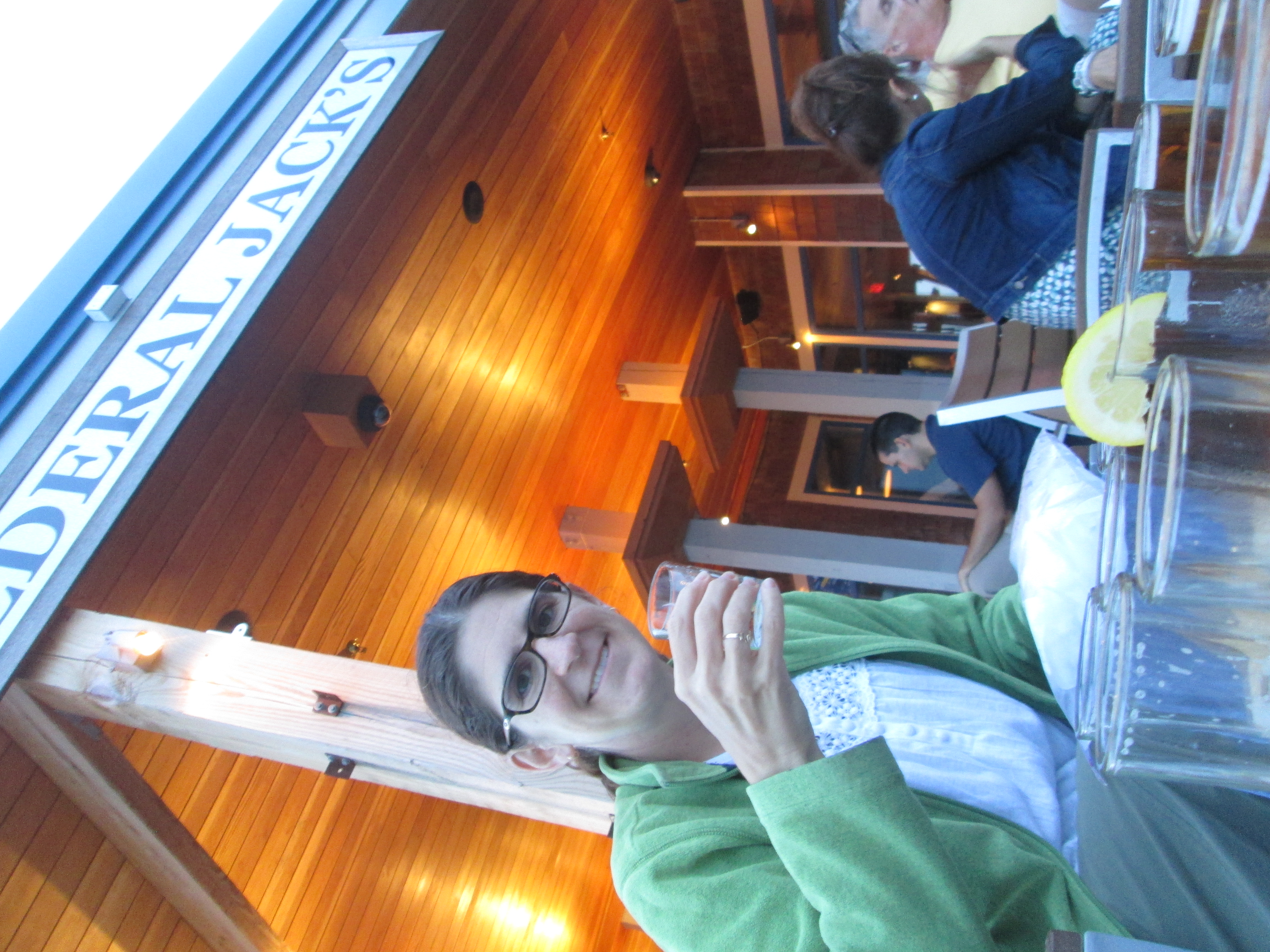
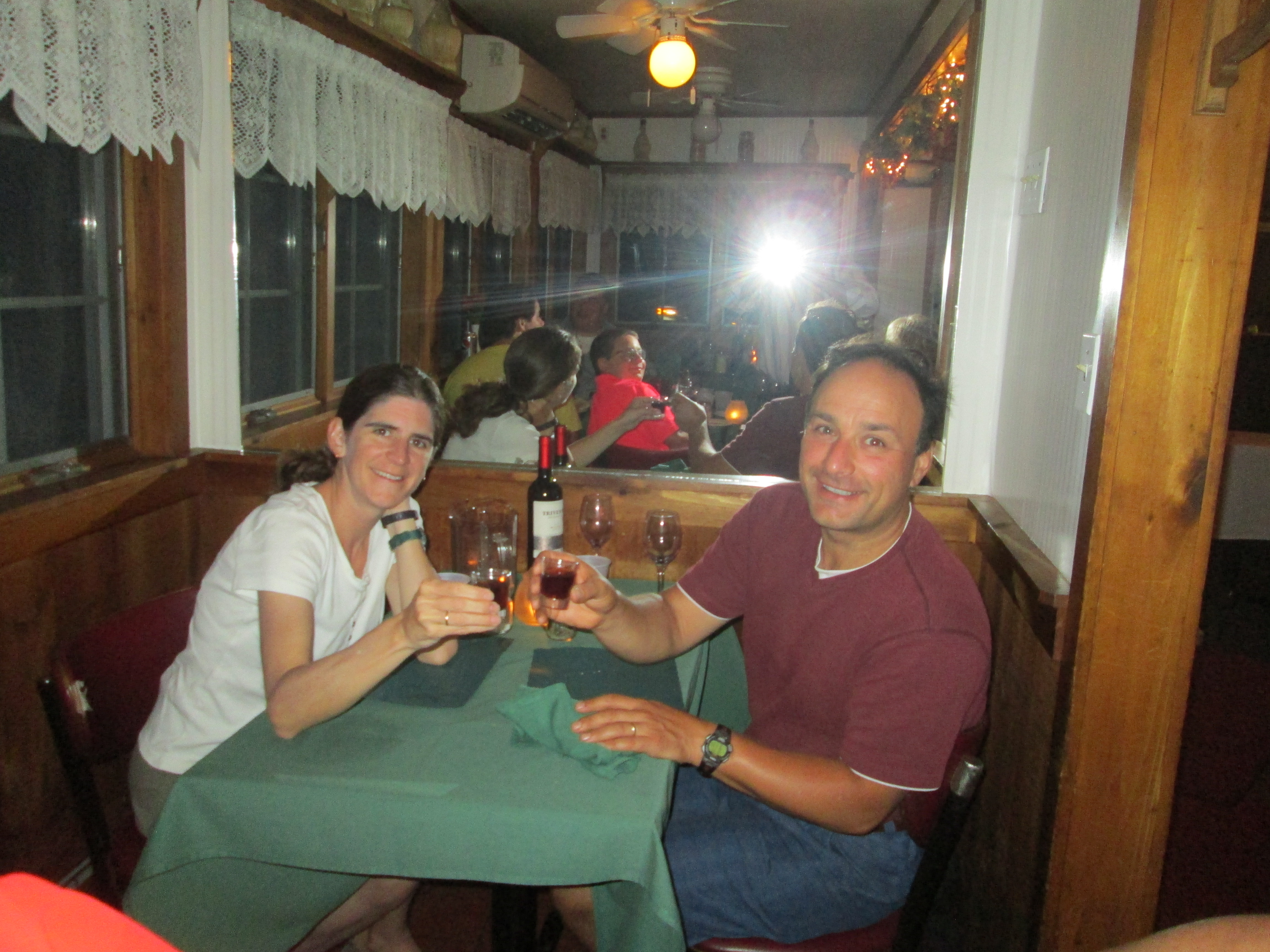
We managed to get there, get cleaned up in our B&B, and hit the town for drinks, the a beer sampler and dinner at the famous Federal Jack’s.
 Tomorrow, more decisions and, possibly, more adventures.
Stay tuned.
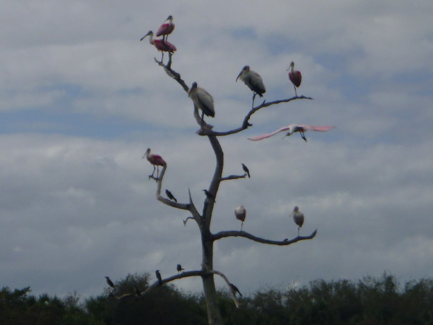
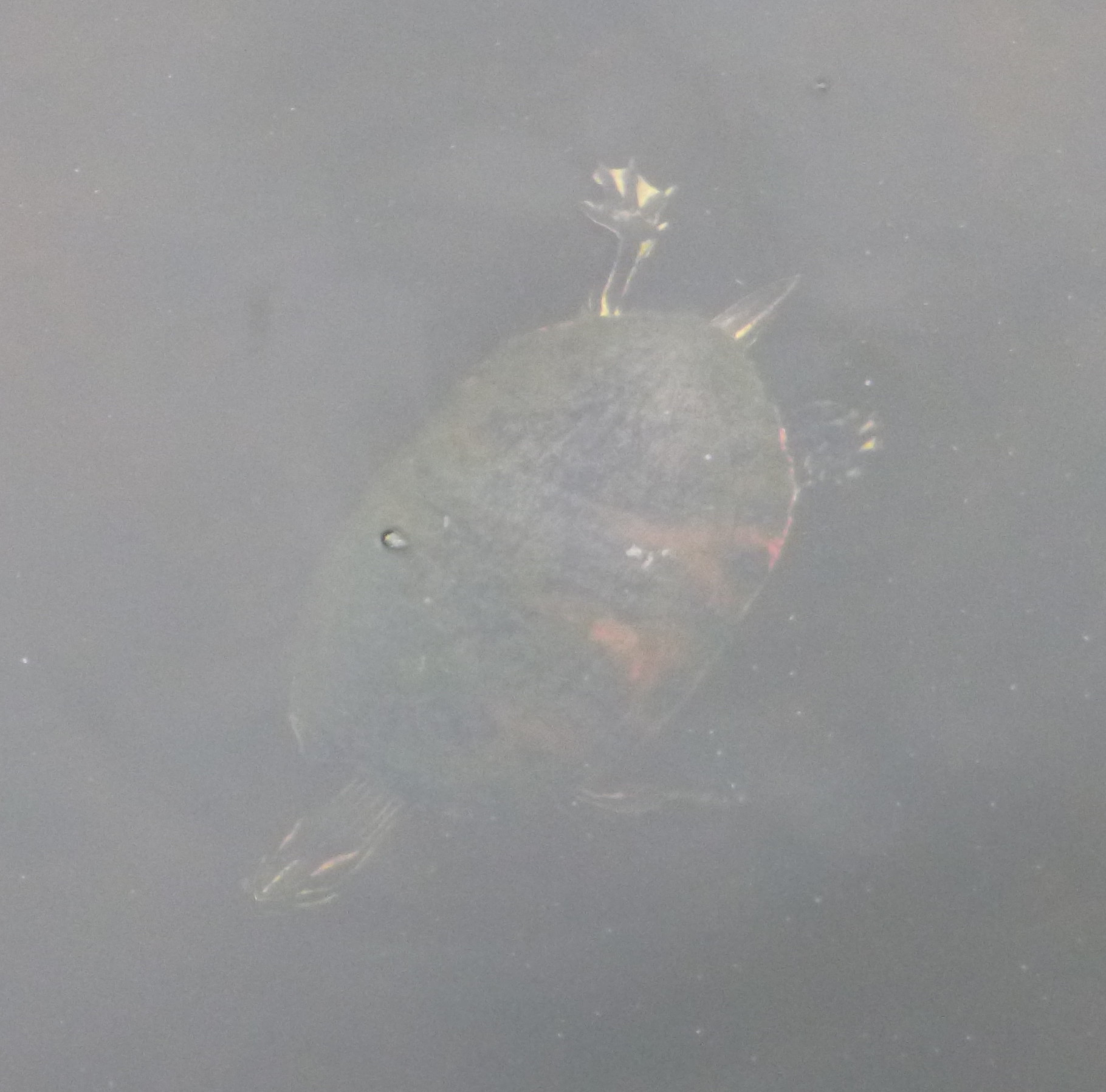
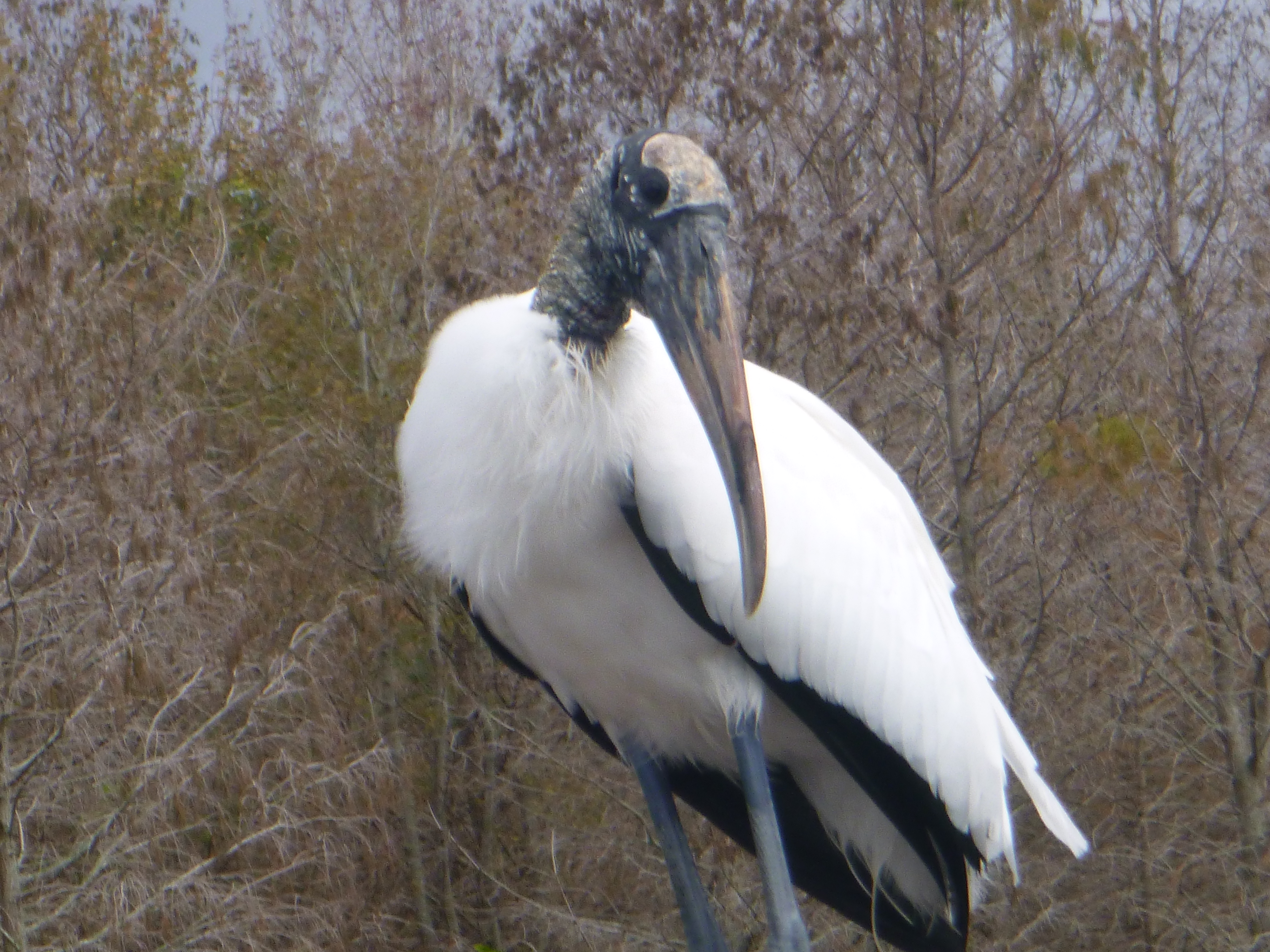
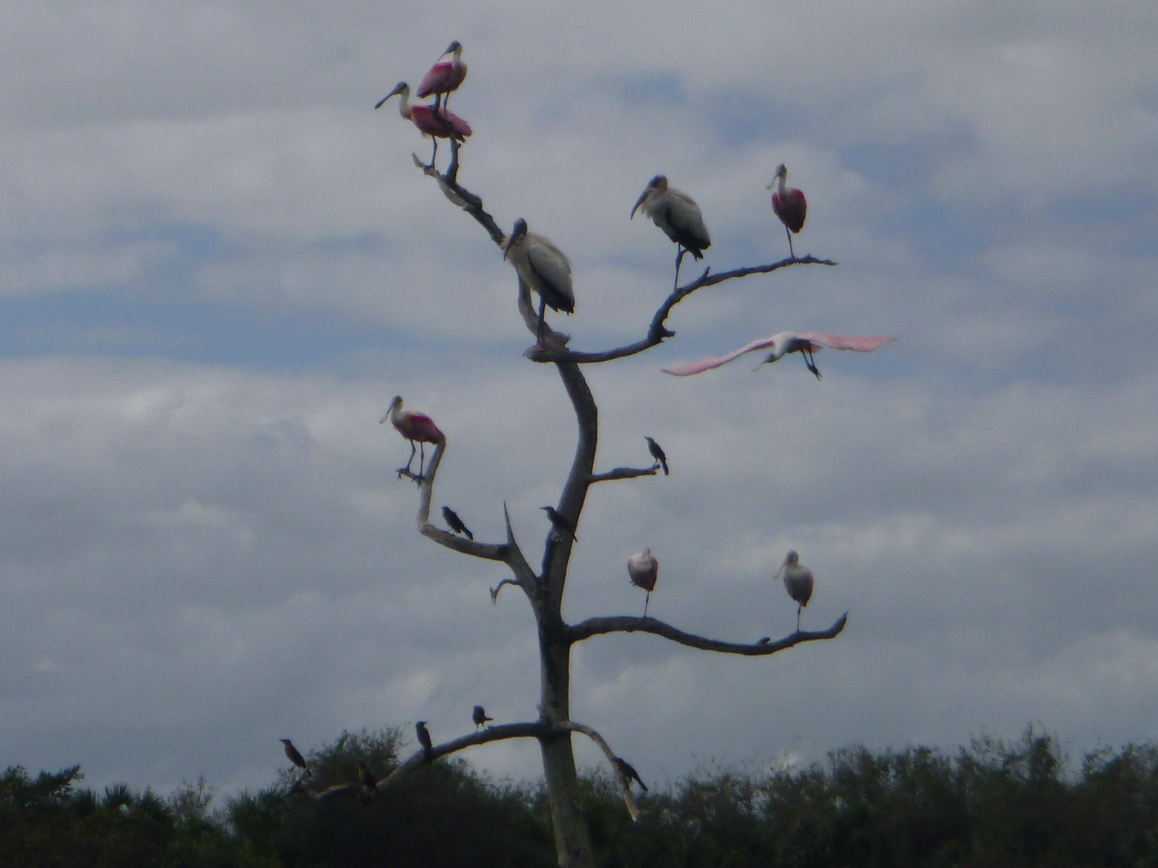
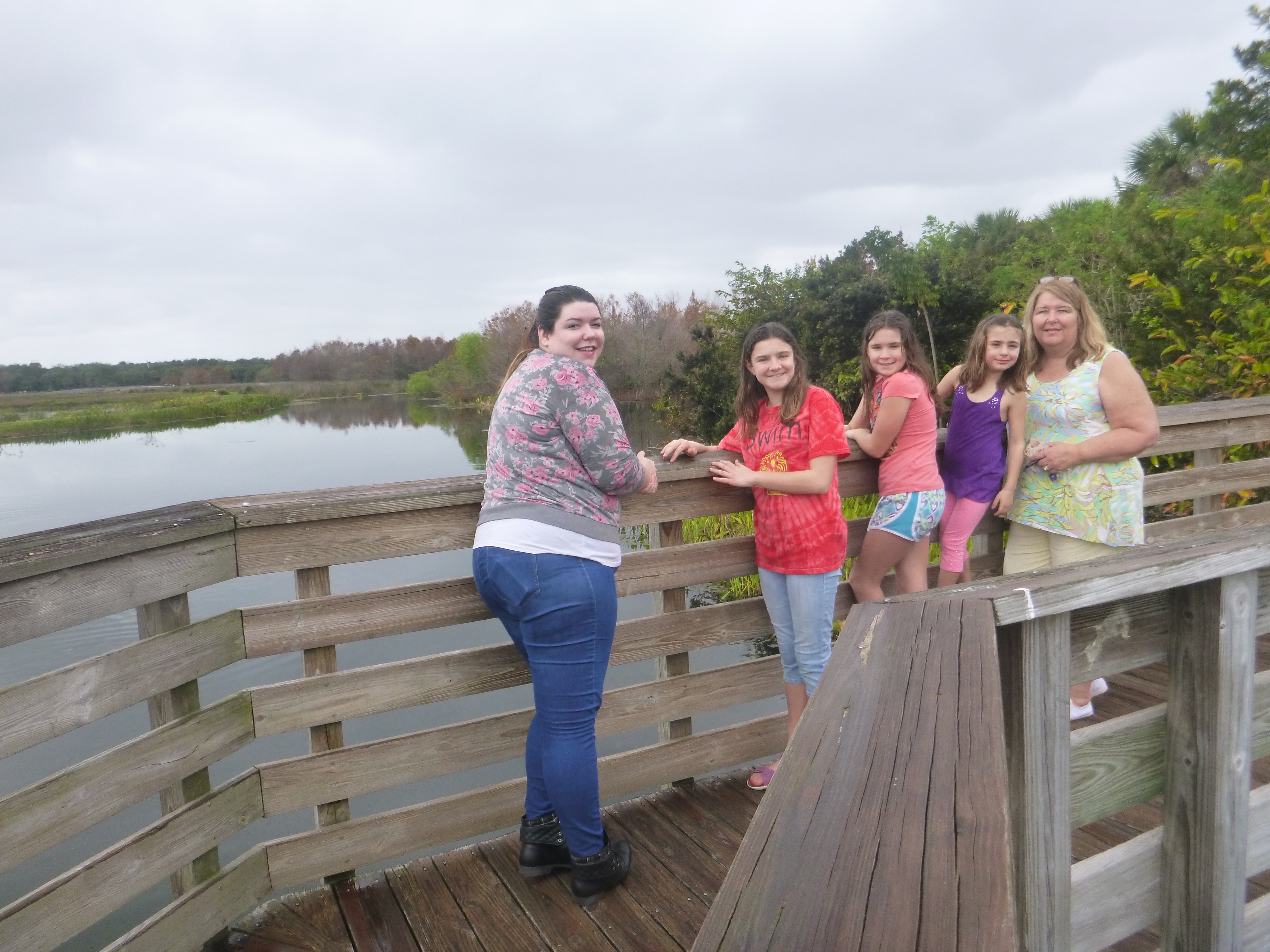 Once we started hitting the tourist trail we found that we were all very comfortable in shorts and t-shirts. Our first stop also required our rain coats — isn’t this supposed to be the dry season? — because of intermittent sprinkles along the boardwalk at the Green Caye Nature Preserve. Double D was in favor of waiting the storm out under one of the pavilion roofs along the boardwalk, but we persevered, because warm rain is better than anything those poor saps back in New Hampshire could hope for in February. Also, it was a very beautiful walk, with many, many birds to look at. That kept us wanting to see what was around the next corner. A turtle? A stork? In New Hampshire all they’re looking at is snow, ice and mud. Suckers.
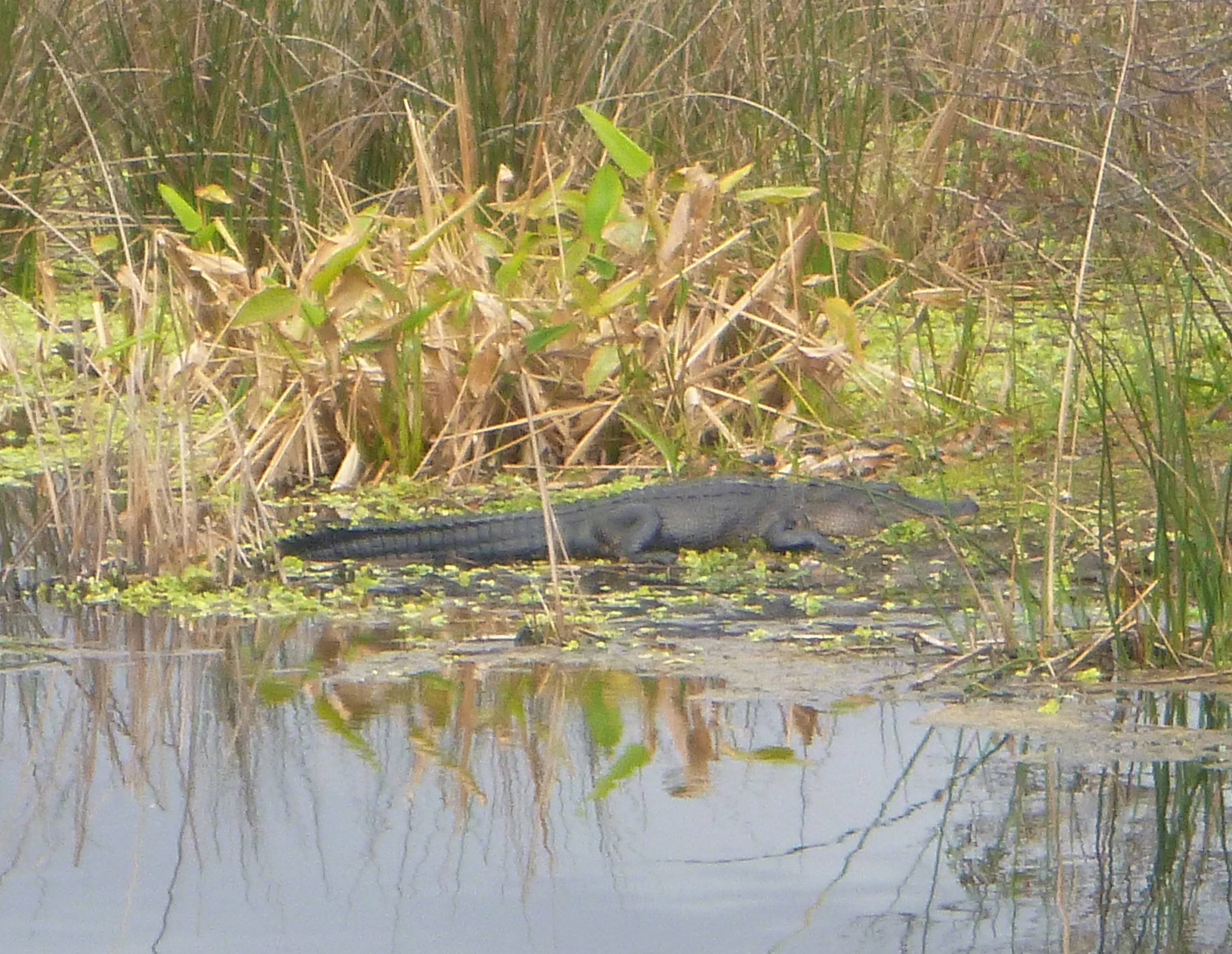 About a mile into the walk, with h half mile to go, the rain stopped and the sun came out. The air very quickly got hot, and we got to see a great big alligator slosh out of the marsh and onto a bank. The first draft of our travel plans had us visiting Everglades National Park this week, but that eventually got squeezed out of the itinerary. This was a good substitute. We got a manageable dose of swampy nature much closer to home.
 That took up the morning — well, we also stopped at a cool farmer’s market and bought ice cream (before lunch!) because it was local and hand-made. Then, for the afternoon’s entertainment, I’ll turn it over to Nadia:
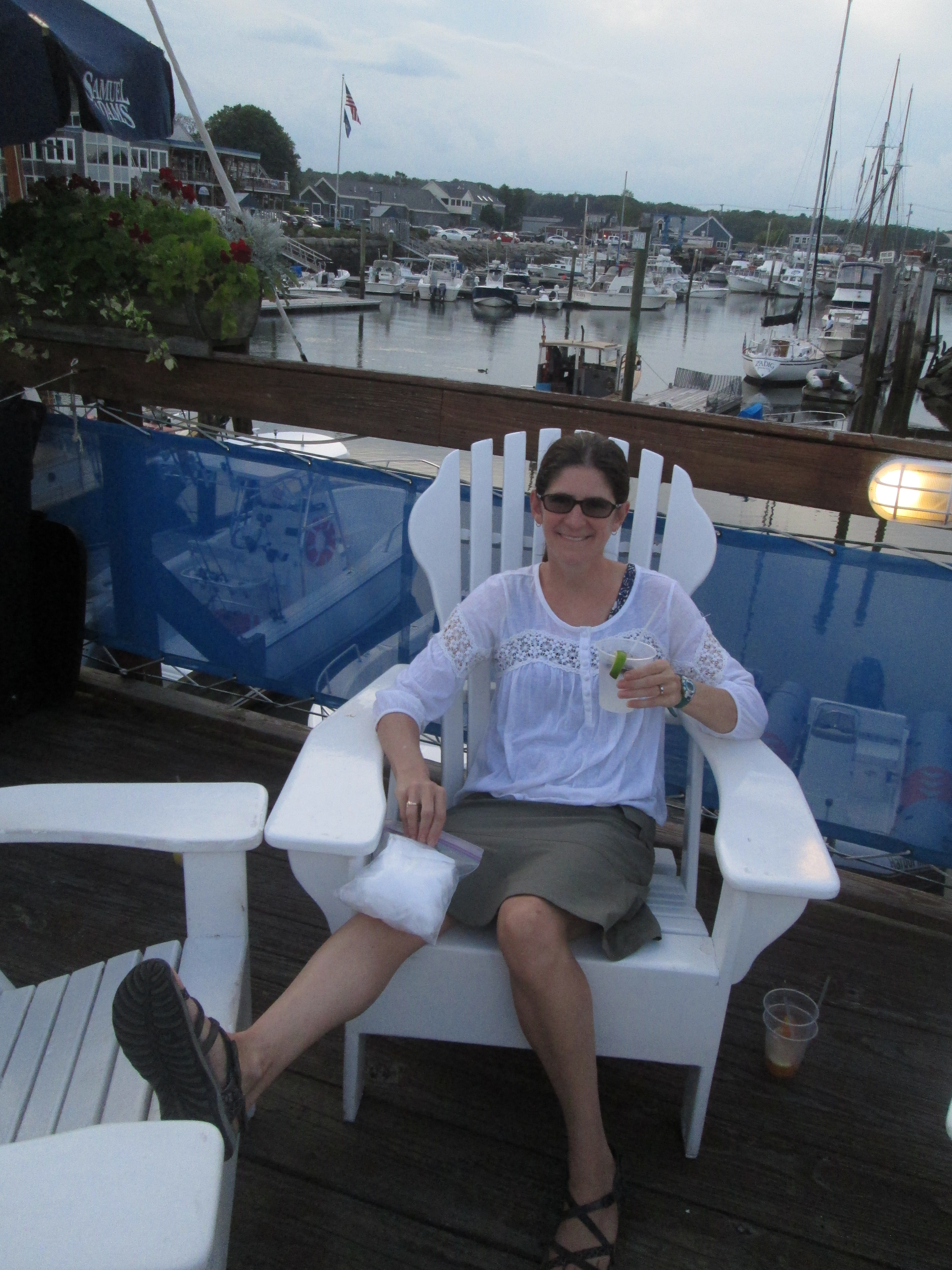


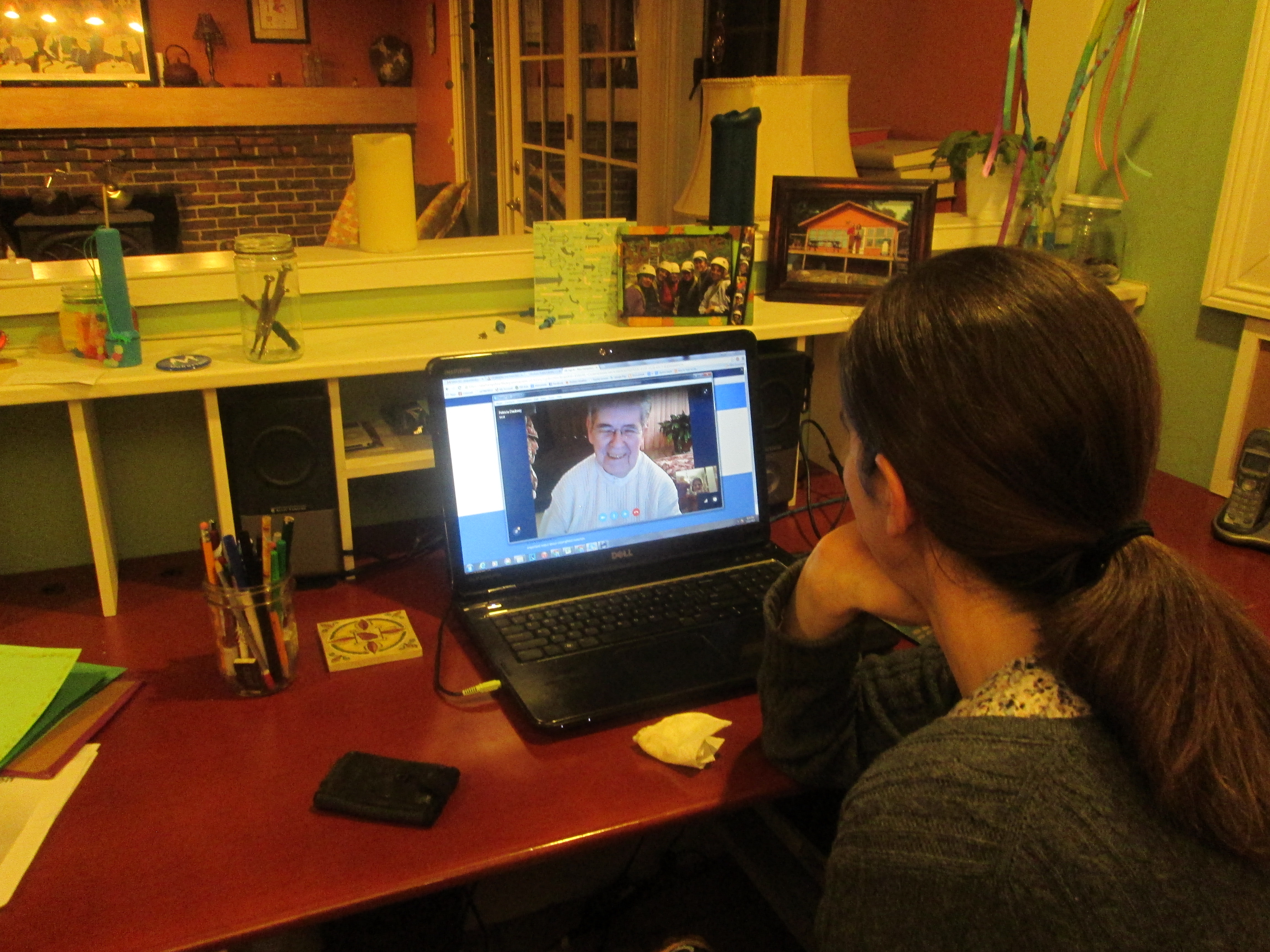
 With the kids all away at camp for two weeks (!), Bob and I had three criteria for what we wanted to do: (1) not too expensive, and (2) fairly close to home in case we needed to do an emergency camp pickup, and (3) something that we couldn’t easily do with the kids along.
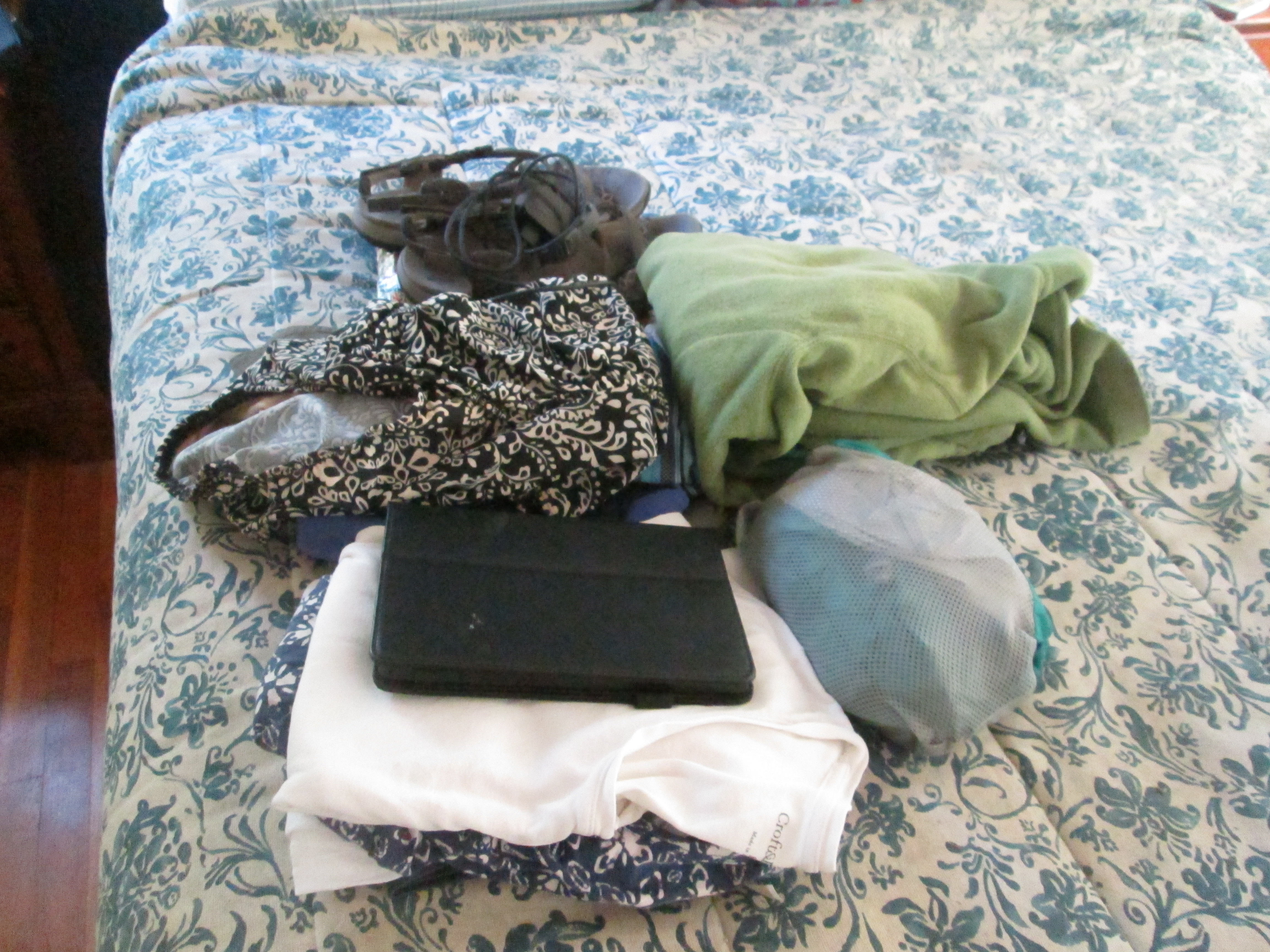