Category Archives: Maine

The last hurrah

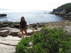
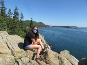
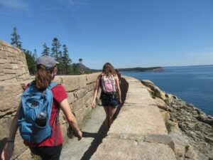
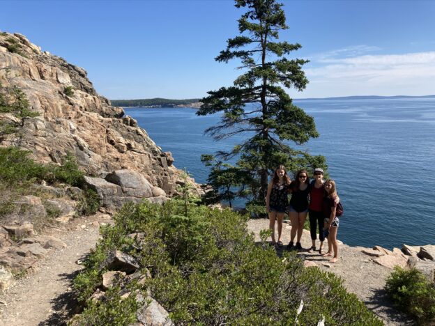
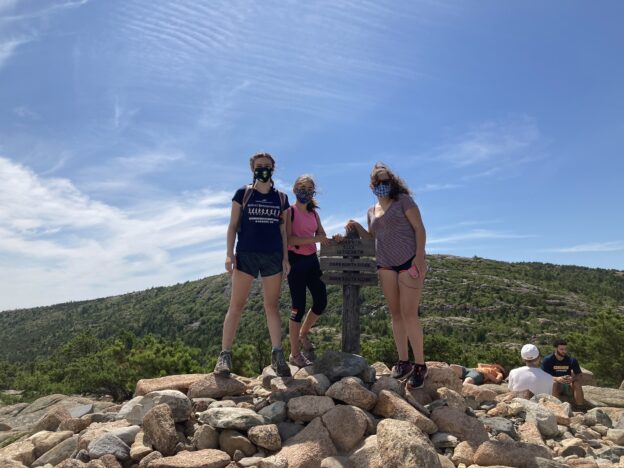
All too soon, our mini-vacation comes to an end.  After attempting unsuccessfully to cajole our kids into eating all the leftover food so we didn’t have to lug it home, we set off for Acadia one more time.  After yesterday’s tough hike, today’s ambitions were lower.  We promised an easy walk along the seaside path near the Park Loop Road.

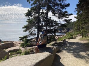
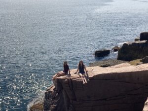
The payoff vs. effort ratio of this one is sky-high.  Granted, you’re walking along a relatively well-traveled path that is mostly in sight of the road, but the views out over the ocean are spectacular the whole way, and there are copious opportunities to leave the main trail and climb around on rocks.  (Or, if you’re Lanie, to pretty much climb along rocks the whole way, except for towering cliff-like sections that your stodgy parents refuse to allow you to attempt.)

We worked in a visit to the famous Thunder Hole along the way, but unfortunately the tides were too low for us to hear any actual thundering.  We had to content ourselves instead with exploring the tidepools that would be covered up when the tides rose.  We also saw some rock climbers rapelling down the cliffs from sea level (an activity Zoe was supposed to get to try on a UMaine summer trip, which, like everything else, was canceled).

Eventually we left the ocean behind and made our way back to the car to drive home (a compromise between one family member who was ready to leave hours earlier and another who would have been content to hang around on the rocks for hours longer).  Bob and I are hoping to manage another quick visit in October, when ideally we’ll be coming up again to pay a visit to Zoe at college — assuming that doesn’t all turn into a pipe dream.

All that remained of vacation, beyond a four-hour drive, was a stop for a late lunch at the Sea Dog Brewery in Portland.  I’m not sure we were quite ready to be done with our getaway, but at least Daisy was happy to see us.

Triumph and disappointment


The theme of the day

Long-time readers may remember our last trip to Acadia, seven years ago.  The short version is that it poured rain the whole time, eventually flooding our tent, soaking all our possessions, and sending us packing a few days earlier than originally planned.  So we’ve been delighted that the weather seems to be repaying its debt this time around — with abundant sunshine, warm but not humid days, and cool, pleasant evenings.  Even the predicted hurricane only caused a bit of rain after dark.

On the other hand, not everything has gone so smoothly.  First there was yesterday’s heartbreaking popover situation.  Today we got hit by another COVID impact — lack of parking.  (I should pause here to say how impressively the park, as well as the town

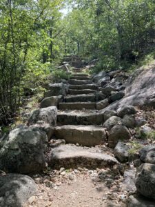
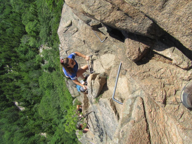
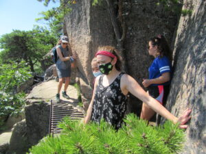
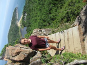
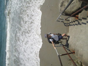
When the stairs finally ended, the steeply sloping rock face was not any better.

of Bar Harbor/state of Maine, are dealing with the COVID situation.  Park buildings like the visitor center are closed, but rangers are available under outdoor tents to provide advice and answer questions.  Masks are mandatory and every business has a “No Mask, No Service” sign as well as a maximum occupancy limit — and people are more or less compliant.  So despite the town and park being pretty

crowded, and with people from all over the place, rates are still among the lowest in the country.  Businesses are able to operate and tourists are able to shop and eat out.  Quite a contrast with other vacation destinations that refused to enact any measures and then become hot spots.)

Anyway, the usual shuttlebus isn’t running this year, so everyone has to drive into the park.  It was our bad luck that the hike we’d planned — much talked-up by the friendly ranger we’d met on the way in, who generated a lot of excitement with talk of slot canyons and boulders and a long stretch of rock that you could ride down like a slide — started near the Jordan Pond House,  whose popularity once more cropped up to foil us.  (It was also unfortunate that we’re traveling with (almost) three teenagers, and so our arrival at the park wasn’t what you’d call early in the morning.)  After a frustrating hour driving around attempting to find somewhere to park, including following random people who we felt looked as though they might be returning to their cars, we had to admit defeat.

Plan B consisted of pulling into the next parking lot we came across, in the Sieur de Monts area of the park, which we hadn’t explored before.  Luckily there was a ranger on-site to advise us, and she was able to recommend a loop trail to the top of nearby Dorr Mountain.

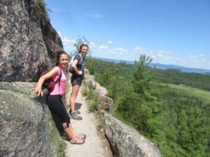
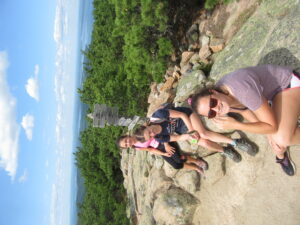
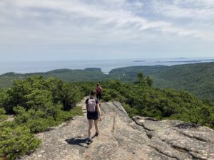
The trail began with a long set of stone steps heading quickly up the mountain.  Then we came to the top and turned the corner, and there were more steps.  And more steps.  Basically, the entire Emery Path consisted of steps running up the side of the mountain.  We were in awe of the effort it must have taken to construct the trail (since we were finding it quite taxing just climbing it).  It was another one of those magical Acadia trails that provide views the whole way, as we were hugging the outside of the mountain throughout.  Zoe and I both found it oddly reminiscent of the hike to the Sun Gate at Machu Picchu, though the environments were certainly very different.

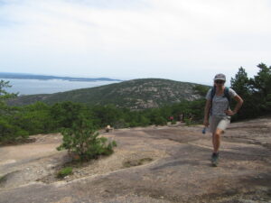
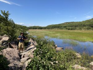
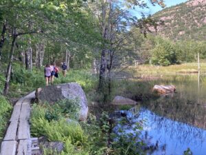
As we continued around the loop we were impressed with the variety of terrains — stone steps, open rock faces, birch groves, narrow paths winding through forests of small evergreens, stunted by the exposure.  After our descent we followed a long, flat trail along a marsh, with green and orange grasses glowing against the deep blue water.  It was hard to imagine that the hike we’d missed could have been much better.

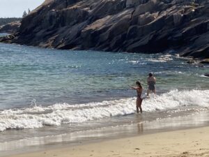
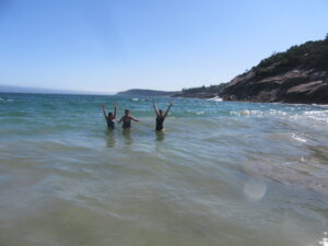
After our hard work on the hike, the girls were keen on another visit to the beach that they’d loved so much a couple of days ago — but alas, this too was a bit disappointing, with small waves, more seaweed, and even a jellyfish.  Still, you can’t beat the views.

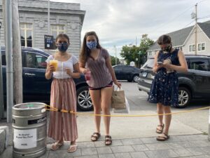
We got back to our place in time for an evening stroll into town for beers at the local microbrewery (Bob and I) and an expedition for smoothies and salt-water taffy (girls).  Everyone will certainly sleep well tonight.

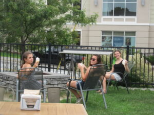
The girls stopped to say hello to us at the microbrewery on their way back from town. One of them is distracted by her phone — and it’s not even the one you’d think!


The rolling hills of coastal Maine

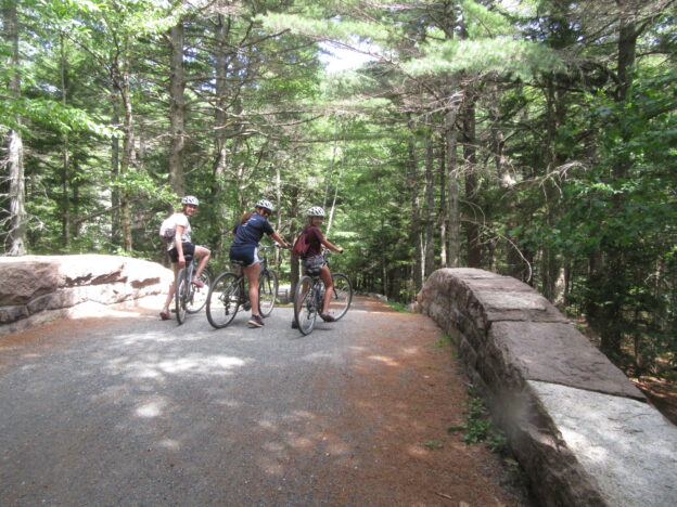
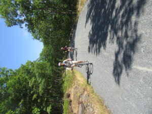
The latest calculations are that we put in more than 20 miles in today on our rented bikes, mostly over the national park’s gravel carriage roads.   We stuck to the trails described to us “more moderate,” and while we expected these to be flat and gentle, they turned out to be a fair bit less moderate than that.

Looks flat but is probably uphill

The carriage trails are lovely, wide, shaded trails, but owing to the nature of the terrain in this part of the world, they are not really flat.  Lovely, but rolling with hills.  On many of the hills some or all of us would have to dismount and walk our bikes up.

It was a hardship that seemed bearable when we  were driven by the promise of a large ice cream sundae inside an even larger popover at the Jordan Pond House, conveniently located at the farthest point in the Tri-Pond Loop we were executing today.

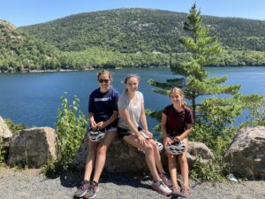
On the far side of Jordan Pond, we could practically taste the popovers.

This thought kept us pedaling along rather briskly for most of the morning up and down the undulations of the landscape, though at one point on a particularly long climb, we all got passed by a jogger.

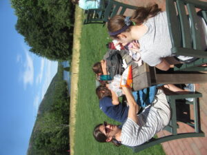
Deflated troops after a bag lunch in a lovely setting

While we did see all three ponds gleaming magnificently in the sun, we didn’t actually ever get to latch onto any of those popover sundaes.  The darned line at the Jordan Pond House was just too long, and, probably due to coronavirus restrictions, it seemed not to be moving at all.  The hill-climbing jogger would have passed this line like it was standing still, because it was standing still.

Popovers, no; wild blueberries, yes

It was a difficult decision to make, but we ended up just eating our bagged lunch and refilling our water bottles several times at the Jordan Pond House before making our way through the rest of the loop.

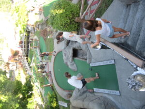
Many a strategy board game loss was avenged on the adventure golf course, mateys.

One concession for the missed confection was to head almost directly to an adventure golf set up we saw yesterday on the way into town.  We headed back out there almost as soon as we returned our bikes to the rental place.

The line for golf was long, too, but at least it moved.  We opted to play the easier, original course and cruised right along once we got our clubs.  The going was much slower on the flashier new course.  Then we headed downtown to make up for lost ice cream and also to have dinner.

We even managed to break our beer fast at dinner with a sample flight of various Maine brews.

See, it all works out in the end.

Bangor to Bar Harbor

Well, we managed to go a whole day without drinking any beer.  Somehow.

We covered a lot of ground and saw a lot of brewpubs — it is Maine, after all — but we didn’t settle in for a pint, even to share.  Here’s what we did do:

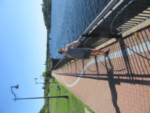
On the Waterfront Trail in Bangor

Jen and I satisfied our suspicions that Bangor is a walking-friendly city by following two separate urban paths, the Kenduskeag Stream Trail and the Waterfront Trail, only to discover that a tiny sliver or our morning walk was also a tinier sliver of the East Coast Greenway.

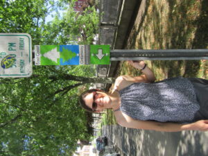
And the East Coast Greenway

The Greenway connects 15 states. After this morning’s walk only 14 more to go!

As it turns out Bangor is more than friendly, It is a borderline fanatical stalker of walking.

To our benefit, of course. We are walkers.

Jen and I managed to do all that — and to not stop in for a pint at the Sea Dog Brewery on the waterfront — by 10 am, and we got everyone out of our downtown Bangor loft by 10:30.

This gave us plenty of time for adventure as  we explored more of Downeast.   We got to Mount Desert Island well before it was time to check into our new accommodations, so we sidled up to the Acadia National Park Visitors Center,  then  hit downtown Bar Harbor for some pizza.  And even then we still had time for adventuring before Air B’nB would be ready for us.

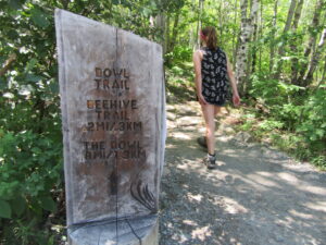
First we hit one of the crown jewels of the park, the vertiginous Beehive Trail, with its steep climbs aided by iron rungs, railings and bridges.  This was a little too much to bite off the last time we were here.  Lanie was six and much more likely to fall off than she is today.

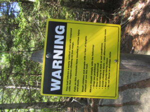
The warning sign at the trailhead is bracing but   we all took to the trail like we had sticky spider powers.  Nadia was most of the way up before she realized how little she liked where she was.

Jen navigates an iron bridge.

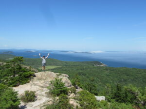
The views from the top — actually there are views all throughout the trail if you look up from the iron rungs — took in the green of the trees, the grey of the rocks and the blue of the ocean, with dramatic waves of white fog closing in dramatically over the islands to the northeast and encroaching on Great Head and the Sand Beach.


By the time we made it down the back way, via the gentler Bubble Trail, we were hot enough to brave the Maine waves.  We joined a surprising lot of people in the frigid water for a late-afternoon cool down. Happily, the fog seemed to hold off from the beach and we enjoyed the warm sun as soon as we got out of the water.

Not a bad way to pass the time before our rooms were ready.

The evening was calmer.  We moved into  the second floor of a victorian close to downtown Bar Harbor.  The place is also a short walk to a supermarked where we provisioned with lunch items and even fixings for a dinner in.   Follwing that, some of us took advantage of the low  tide and walked across the sand bridge in the harbor to take in the sunset, along with a few score of our fellow tourists and a deer that apparently decided it didn’t want to be on Bar Island anymore.

On the sandbar

Still no beer, though we did pass an open brewpub on our way downtown for ice cream.  And while some of us stayed behind for the sandbar walk, everyone was in for the ice cream trek (though Jen eventually decided she’d rather get something from a bakery we passed).  I got homemade Maine blueberry softserve.

And off the island

College-bound

Though we have found Bangor, ME, to actually be quite a bit nicer than we expected, it’s not so action-packed a place that we felt the need to operate at our usual death-march vacation pace.  So, it was 10:45 before we rolled out of our rental apartment and headed north to Orono, to finally check out the place where Zoe will be living in about three short weeks.

Zoe and I had visited the campus once before — during a cold, rainy, muddy day in March just as everything was shutting down — and the rest of the family hadn’t seen it at all, so we were looking forward to visiting on a nice summer day.  The campus didn’t disappoint, although the ghost-town level of emptiness was a bit eerie.  We were able to locate (though not enter) Zoe’s dorm, nearest dining hall, and the locations of the limited number of in-person classes that she’ll have.  (At the moment, her schedule is over half remote, but luckily she does have at least some in-person classes.)  The one building we were allowed to go inside was the Center for the Arts, because the museum of Native American art and artifacts was open.

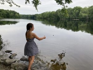
Skipping stones on the Stillwater

The campus runs along the Stillwater River, which provided a lovely peaceful spot for an afternoon walk.  The nearby downtown, though about the same size as Durham, managed to offer several dining choices — and most of them were NOT pizza!  We saw at least three brewpubs in Orono (and several more within walking distance of our apartment in Bangor).  We’re not sure why Durham seems unable to pull this off.

Ice cream break at the Family Dog


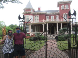
Fortified with a long day’s walking (as well as burgers, local beer, and ice cream), we had one last stop to make before returning to the apartment.  A short walk away from our downtown Bangor apartment is the famous home of Stephen King.  Just in the brief time we were there, on a random Tuesday afternoon, we saw several other groups coming to stroll down the historic street and peer through the iron gates at the King mansion.  In addition to the cool gates, the main attraction is a carved stump that is supposed to represent a lot of King’s books.

Our neighborhood has lots of nice options for dinner.  Tonight we chose a noodle shop that the kids had seen on our way in.  After stuffing ourselves with noodle bowls, we felt the need for a good long walk (or at least, most of us did — there was a small contingent that instead felt the need to lie on the couch and watch TV).  Our main observation was that Bangor has a lot of hills.  In a few places we thought we were back in San Francisco.


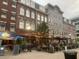
Is this a lovely European piazza? No, its Bangor, Maine!


Un-sequestration day #1

We are still trying to follow safe practices, and we have not actually been completely sequestering in our house for quite some time, but this is our first blog-worthy, whole family adventure since Nadia’s big birthday trip. We’re in another state, even.

Maine obligingly lifted quarantine orders for New Hampshirites several weeks ago.

Aside from escaping cabin fever, we are also are planning to acclimate ourselves to Zoe’s soon-to-be new home on the U Maine Orono campus.  Jen and Zoe are the only ones who have seen the campus; they squeezed in a visit mid-March just as the school was shutting down.

Before we could get there, we undertook some retail therapy, and maybe even below-retail therapy at the outlets in Freeport.  The LL Bean factory outlet, Old Navy, and the Nike store all benefitted from our visit.  We also managed to visit our first microbrewery of a trip that promises many more microbreweries.  Maine likes its craft brew.

This broke the drive up into nice, manageable chunks.  An hour-and-a-half to Freeport; a few hours of shopping; then an hour-and-a-half drive to our final destination of the day: Bangor.  Aiding the drive was  a very ineresting RadioLab episode about the long-term effects of the 1918 Pandemic.  Did you know that both Ghandi and Hitler got career boosts from the Spanish Flu?

Bangor turns out to be charming city combining aspects familiar to us from our stomping grounds of Dover and Portsmouth.  It’s a fair bit grittier than Portsmouth and a few notches hipper than Dover.

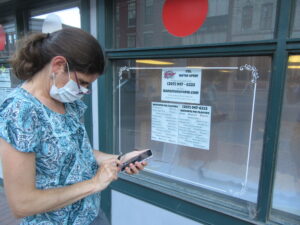
Texting whoopie pie menu and expecting a rapid response

Dinner on Bangor’s Market Square. The restaurant makes its own beer.

Bangor lumps both those places together, with an ample sprinkling of microbreweries — we’ve found four here without really trying — and a mix-in of whoopie pies.

Jen has found us a nice, central Air Bn’B apartment, and later she figured out how to text the whoopie pie bakery menu to the girls and collect their order.  (I opted for the “Down Easter,” which has molasses cake and blueberry cream filling.)  Jen’s a hero of this trip.

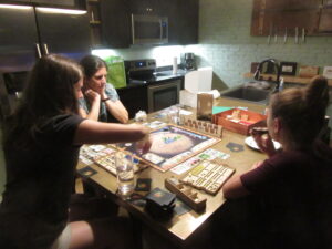
She was rewarded with a round of Terraforming Mars before road weariness took its toll on all of us.

Tomorrow we visit Orono.

Rhymes with pain

Oh, Maine, with your winding country roads, pebbly beaches and charmingly spaced out bistros.  You’re killing us.

Not very rapidly, but palpably all the same.  To be sure, we probably would have made it as far as Portland or even Freeport before any of our body parts actually started falling off or became ground down to actual nubs.  Depending on the shuttle service.

Anyone observing the way we limped into Biddeford, though, would have wondered why we were walking away from the Southern Maine Medical Center and not directly to the emergency room.

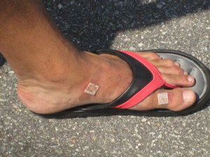
I'm wearing size 10 ladies flip flops and multiple bandages.

I’m wearing size 10 ladies flip flops and multiple bandages.

I had multiple blisters and abrasions on both my feet.  My beloved Keens sandals, which carried me through so much of Central America, were not up to 10-plus miles of hiking a day, particularly in a sandy environment.  Tighten up, leave them loose. It didn’t matter.  I ducked into a pharmacy on Rt. 1 north of Kennebunk and bought a pair of flip flops, just to give the sore parts of my feet a little break.  The best they had were ladies size 10.  They helped moderately.  I didn’t really get relief until we decided to bungle around in circles in a large grassy park in Old Orchard Beach.  But I had to put my shoes back on eventually.

IMG_8626Jen was amazingly brave and resilient in the face of a smattering of pains, the most acute focusing on her right knee.  It was difficult for her to bend the knee so when she walked she kind of had to swing it around.  It wasn’t quite Ministry of Funny Walks, but it didn’t look very comfortable, either.  Add to the top of this the general soreness that comes from walking, and it’s plain to see why we were both grimacing for much of the last few days — especially when standing up again after a brief rest.

You may have noticed that we stopped at a few bars and beer halls along the way.  We were self-medicating.

Actually, each morning of the trip we got up with good energy and positive attitudes.  We’d leave our lodgings feeling better than we did when we booked in the evening before. This, Jen says, is why we’re not hiking the Appalachian Trail.  To walk even the relatively short distance we were covering (AT-wise), and then have to sit down on a rock and cook our own food, and then try to sleep on the ground?  Too much, even for us.

Even as it was blazing our trail in Maine, we would hobble into our next evening retreat feeling a little worse than we did the evening before.   The walking didn’t really get more difficult.  The first day was the worst, with winding Rt. 103 in the morning and the afternoon slog to find accommodations.  After that, I think we were clever in learning from our mistakes.  We booked a room in advance in Ogunquit and found car-free conveyance for good stretches of walking on the next two days.  (Dodging cars takes a lot out of you, trust me.)

Next stop: Adagio Salon, Spa & Wellness Center

Next stop: Adagio Salon, Spa & Wellness Center

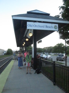
But these little maladies accumulate, and we weren’t taking any days off to allow ourselves to heal.  By the time we made it to Saco, we had no trouble making the decision to let Sha-zoom! cover the last five miles of the coast for us.  (We had taken shuttles before during this trip, but mostly it was east-west travel.  The Kennebunk trolleys didn’t really save us much walking,  they just set us up to walk on better trails.)  Once in OOB,  even with the soothing grass of the big park, it didn’t take too much to nudge us into calling it a day.  To be sure, it was evident that the available lodgings we saw would be neither comfortable nor, based on their proximity to the beach, inexpensive.  Also, there were grey skies that evening and predictions of only moderate temperatures the next day (not encouraging for beach time).

Jen’s idea, once we had purchased our train tickets, was to take the money we would have spent on a hotel room on by the beach and get ourselves massages the next day in New Hampshire.

The two miles from the Durham train station and our house were among the most comfortable to walk of the whole trip.

End of the road

IMG_8648

Entering the Eastern Trail.

Last night, snug in our top-floor aerie at our B&B in Kennebunkport, we listened to rain pattering on the roof and watched lightning flash out the windows.  This morning, we awoke to a gray drizzle.  But happily, by the time we finished our enormous breakfast and packed up our stuff, the sun was shining again.

IMG_8649

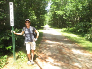
Biddeford seems OK so far.

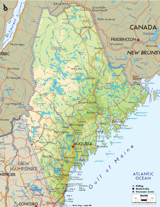
We debated a few different options for the day.  Heading all the way to Biddeford/Saco via the coastal route was a bit daunting at 15+ miles, especially since my knee had been giving me trouble since the previous day.  Going straight there was a more manageable 10 miles, but on not-very-appealing roads.  Finally, we settled on a third option — making another use of the handy shuttle bus to go back to Kennebunk, then walk to Biddeford on a route that was largely an off-road rails-to-trails bike path (the Eastern Path).  It was about the same distance, but seemed like it would be a much more pleasant walk.  (Google identified this path for us, so I was confident that it was in fact a real path unlike yesterday’s situation.)

Unimpressed with downtown Biddeford.

Unimpressed with downtown Biddeford.

All went well and we made good time, despite frequent stops for me to ice my knee with a bag of ice that I’d brought from the inn.  We rolled into Biddeford around 3pm, without a firm plan for the evening.

Our usual M.O. in these situations is to find a place to have a drink and/or snack and use the free wifi to figure out our next move.  This proved to be more of a challenge than expected.  No offense to any Biddeford readers out there, but Biddeford is kind of a hellhole.  We wandered, dispirited, through downtown, unable to find a cafe or non-sketchy-looking bar in the whole place.  The skies were darkening ominously.  We came upon a brewery with a tasting room but it was closed.  So we developed a single-minded mission: Get the Hell Out of Biddeford (GTHOOB).  With that in mind, we headed toward the train station, located across the river in Saco.

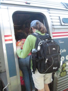
We had a wish to get out of Biddeford.  And then, Sh-Zoom! all our transit wishes came true!

We had a wish to get out of Biddeford. And then, Sh-Zoom! Our transit wishes came true!

Fortunately, Saco proved a substantial step up, greeting us immediately with the Run of the Mill brewpub, which provided us with excellent beer, snacks, and free wifi.  We used the latter to determine that we could GTHOOB by catching a shuttle right down the road at the train station and take a shortcut to our final destination, Old Orchard Beach.  (We also learned that in fact we could have taken the shuttle from right where the Eastern Trail ended, thus allowing ourselves to GTHOOB a few miles sooner and avoid all the strip malls and disreputable businesses.)

Triumphant arrival in OOB.

Triumphant arrival in OOB.

Old Orchard Beach provided its own challenge, that of finding a hotel room.  We put on a lot of steps wandering back and forth.  The train goes through right along the beach, which is convenient for those of us relying on public transportation — but inconvenient for those who just want to walk to the beach and are blocked by train tracks that require large detours to get over.  The skies were also still threatening, although we’d miraculously avoided getting rained on thus far.

Threatening skies

Threatening skies

In the end, rather than pay a fortune for a sketchy-looking hotel, we decided to hop on the 7:30pm train home.  This gave us time for a walk on the beach and a margarita, which was about all we needed from Old Orchard Beach.  And the two-mile walk home from the Durham train station felt like nothing at all.  (As walking connoisseurs, we saw it through new eyes, and looked approvingly upon its wide, comfortable sidewalks, finely manicured lawns, and attractive buildings.)

Total miles walked today: approx. 14

IMG_8661

Why walk?

We are not out to convince people that this is a vacation for everyone, but in light of some feedback we’ve received since announcing our intentions, we need to point out a few reasons why walking the southern Maine coast would be a good idea for some people.  Here are some of the joys of our trip so far; you can decide how much they appeal to you:

Take that, motorize vehicles!

Take that, motor driven vehicles!

We can go where we want.   I know automobiles are seen as a great liberator but it shouldn’t take too much of an imagination to see that they come with their restrictions.  This is particularly true in coastal New England, where the towns were well established before the first Model A came to town.  There is only so much they can widen the roads in Ogunquit.  There is only so much parking space they can build at Short Sands.  When we hobble into town now, it is a very comforting feeling to know that we don’t have to wait in traffic (motorized progress always stalls coming into these towns in the summer), hunt for a parking space (they are always scarce and often require parallel parking skills that for me are itinerant at best), worry about citations, and decide what can or can’t be left in the car.  We don’t have to look for appropriate spots to make u-turns (though, unfortunately, we’ve had to turn around an retrace our steps a few times so far).  I’m not fumbling with my key (or worrying about losing them) every time I look for something in my pocket. We’re not searching for gas stations or trying to decipher directions on the fly.  Correction, we’re often deciphering directions on the fly, but we’re not in danger of running anyone over while we’re doing it.
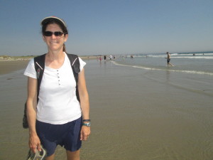
The beach was our highway yesterday.

The beach was our highway yesterday.

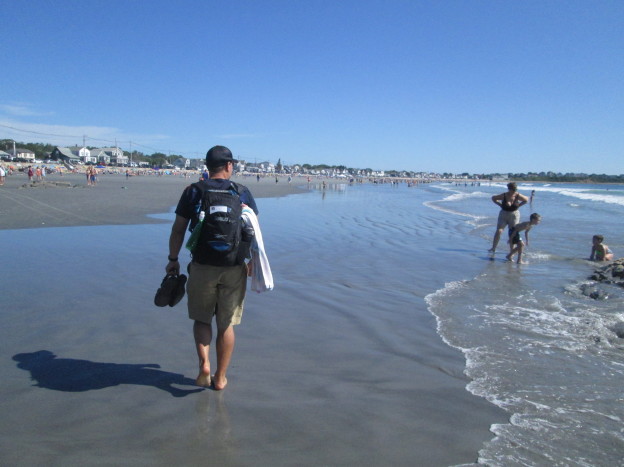
We can walk on the beach as far as we want.  Anyone who says she likes to walk on the beach should have been with us today.  Of our first seven miles or so, between five and six were on firm-packed sand.  Our feet were in the water for much of it.  We went on without care.  We didn’t have to go back and get our car.
The rising tide did make it difficult to follow the beach in some places.

Though the rising tide did make it difficult to follow the beach in some places.

There was no meter to feed. When the opportunity arose to change our route a bit by taking the trolley inland to Kennebunk (yes, it’s true, we did not walk the whole distance from Ogunquit to Kennebunkport) we were able to jump on it and not worry about having to come back and get our car.  We were un-tethered.

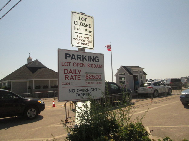
There are fewer distractions.  With car travel, there are more options, which seems like it would make people happy.  Today we did not have to worry about what we would crank through the radio, whether we would use A/C or open windows, who would drive and who would navigate.  Did we want to try for street parking or should we go to the $25 lot?  Maybe we could find a $10 lot and walk a little?  Should I drop you off with the stuff or find a place to park first?

Sure, we had a lot of other decisions to make, but they were interesting, thought-provoking decisions — Coastal route or straight path?  Stop for lunch or press on? Do you think they’d mind if we walked down their driveway?  Can this possibly be North? How far do we think can we go in one day before our bodies give out?  These are all distracting questions, I guess; or maybe you’d call them engaging, because for some of them it really makes a difference which way we decide.
Ready to leave our inn in Ogunquit, with everything I need on my back.

Ready to leave our inn in Ogunquit, with everything I need on my back.

There are fewer things to carry.  I know this also seems like an illogical defense of walking.  You can carry many more things in a car.  That’s why we have cars.  Having to carry everything on our backs makes it easy to decide what to bring.  We may not have everything we want at the beach, like a folding chair and big blanket, but we have everything we need.  We have found all we really need is a towel to sit on, some sunscreen, a water bottle or two, something to read, maybe a change of clothes eventually.  These things and more are all waiting for us in our backpacks, just like they will be in our B&B room tonight and the place we eat lunch tomorrow.

Also, we’re not tempted to buy stuff.  We usually aren’t great consumers, but now it’s not even a considerations because we don’t want to carry anything more.

There are more things to notice.  Billboards on highways are really big so you can’t miss them as you speed by.  Walking people can notice much smaller things; they notice even more than people moving at bike speed.  Back in Kittery a cyclist managed to blurt out, “Great blue back there,” as he rolled by in his speedy bike outfit.  A few dozen feet up the road, we saw the heron that had caught the cyclist’s attention, and then we saw the heron gracefully pulse its wings, raise itself out of the marsh and fly away.  Jen noted how amazing it was that herons can fly so well while moving their wings so slowly.  The biker didn’t get to see that.
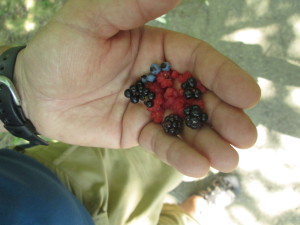
IMG_8608This time of year, the best thing we get to notice is berries.  If anyone out there decides to recreate this journey or attempt a similar trek through the same landscape — and no one may ever do this; there are many reasons why someone would not want to attempt this walk, which we’ll surely get to in a future post if not before — we might share the secret location of a blueberry patch off Shore Road in Cape Neddick or try to explain the difference between huckleberries and the ones that look like huckleberries but are probably poisonous.  Future trekkers might want to know this before taking on the Kennebunk Bridle Path, which features each these, plus several other kind of berries.

These places seem more exotic because it’s taken a while to get here.  Kittery, York and Ogunquit are not unfamiliar territory for us.  I visited my family on vacation just north of Short Sands immediately after having my first date with Jen.  (She was kind of a detour on my way north.)  We walked right past the church we got married in the and reception hall driveway.  This time around, though, everything feels more exotic and new.
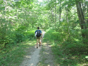
Trailblazing

Trailblazing


We get to blaze a trail.  This is not something people get to do that much anymore.   This adventure certainly isn’t on the scale of what earlier pioneers and explorers used to endure, but we’re still not entirely sure if it can be done, or if it can be done in a way that is somewhat pleasurable, interesting, and generally fulfilling without landing us in the hospital or prison. (Though we have considered prison as an inexpensive way to spend the night and extradition to New Hampshire as an easier way to get home than walking.)  We think it can be done, and we start out each morning with that intention, but we’re not at all sure it’ll all work out.
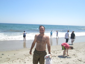
Staying and swimming some more at Wells was an option.

Staying and swimming some more at Wells was an option.

For instance, today we set out not know if we could make it all the way to Kennebunkport, which would be our goal, or if we would have to stop in Wells.  Wells would be a much shorter walk and would allow us to heal a little after two days of longer treks than we envisioned (particularly the first day when we stumbled around for a while before finding a place to stay).  Stopping in Wells would basically wreck our plans of hiking all the way to Old Orchard Beach. It would leave too many long walks across areas where resting opportunities would be scarce.  Even if we made it to Kennebunkport, tomorrow’s walk to Biddeford would be stretching our endurance.  We now know what 14+ miles can do to us.

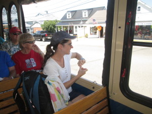
Then, we stumbled on an opportunity when we arrived at Wells Beach, after pleasant morning of walking almost entirely on beaches:  There is a system of trolleys that connect York to Kennebunkport.  The trolleys pick up people at various hotels and parking lots on Route 1 and ferries them and their folding chairs to the string of beaches nearby.  This cuts down on the traffic; it gives people a chance to stay in one place and experience multiple recreation centers; and, perhaps more importantly, it only costs $1 for a one-way trip.
IMG_8595

On board the Shoreline Explorer


Sure, we told people we were going to walk to OOB, but really our goal was to get there without a car.  Shaving off a few miles — particularly miles on four-lane, commercial Route 1 — would not really taint the intention of our trip, particularly if it allowed us to get to Kennebunkport and keep us on track for our goal.  Also, the trolley line is called “Shoreline Explorer,” which is kind of how we view ourselves, as explorers; so it seemed like a good fit.

By cross-referencing her downloadable map of Maine with the Seacoast Explorers’ route map, we saw that we had a few options.  We could have taken the blue line going north from Wells to the Maine Diner on Route 1, turned off onto Route 9, which eventually intersects with a hiking trail in the Rachel Carson National Wildlife Refuge that looked to lead right into Kennebunkport.  Or, we could have taken the blue line right into downtown Kennebunk and walked about half a mile to something on the map labeled Bridle Path, which also stretched on the computer map right to our destination.
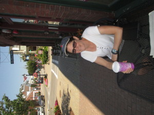
Coffee in Kennebunk

Coffee in Kennebunk

We chose option two, which promised to cut about two miles off our original walking-only path to Kennebunkport, and also remove the specter of another afternoon navigating a winding Maine back road.  We were immediately happy with the results.  Motorized transportation, after all, is pretty easy on the feet.  There. was a nice little cafe in Kennebunk where we got a coffee drink to share, used the wifi to book a room, and changed out of clothes still damp from a plunge in the Atlantic just before we left our beach walking for the day. (Jen also took the opportunity to throw away a pair of bathing suit bottoms that nearly malfunctioned spectacularly in the waves, thanks to a waistband that had relaxed with age.)
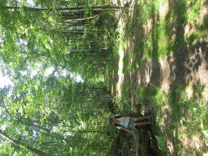
Resting along the Bridle Path.

Resting along the Bridle Path.

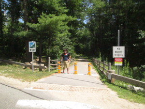
We enjoyed a brief walk through town and found the Bridle Path without much problem.  The entry to the path was near a school parking lot, and there were multiple signs dedicated to explaining the trail and keeping cars and motorcycles out.  The trail actually extends from the Kennebunk railway station to downtown Kennebunkport.  It used to be a spur railroad line allowing tourists to travel the four miles from Kennebunk to the port without much time and effort.  It was a fantastic place to walk — not crowded, not buggy, no cars to contend with.  The path is shaded and peppered with historical markers and berry bushes.  It offers great views of the Mousam River.  After crossing Route 9, it turns into the wildlife refuge trail we considered aiming for.  Spaces in trees allowed for ocean and marsh views.  The blueberries in particular were plentiful.

Then we crossed another road and the trail disappeared.

No warning, no sign.  Just a golf course where the trail should have been.  Jen’s downloadable map did show the grey and white line skirting along the edge of a golf course, then going right through the middle.  It didn’t seem entirely right; but, then again, there were no signs on the golf course that said we couldn’t walk through.  The golf-cart path did seem to go right along the edge of the course and follow the path that the railway might have taken.  Taking any other route at this point, according to the map, would mean walking on winding Maine backroads.
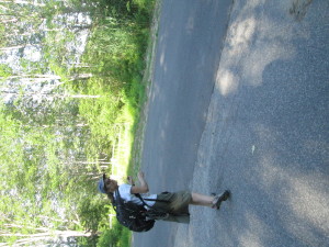
Jen slinks away from the golf course.  Note the open gate across the street.

Jen summons stealth to slink away from the golf course. Note the open gate across the street.

So we crashed the golf party — and there were plenty of golfers to witness it as they knocked around their shots in the late afternoon sunshine.  No one seemed to notice us.  Not even when the path we were taking appeared to be wiped out by a raised tee box.  Skirting that, we found a green in the way, then a row of hedges.  We walked around in cirlces, first trying re-capture the path, and then just trying to get off the darned golf course.  There were houses all around it and hedges and fences.  There’s probably a series of security videos showing us stumbling blindly around the course.  At some point they’ll speed it up a little, set it to the Benny Hill music, and play it at the country club Christmas party for laughs.

Finally, following the cart path all the way around a green off into a direction that  would have brought us clear into a major golfing thoroughfare, we recognized what appeard to be the foundation of an old bridge, possibly a railway bridge.  It crossed a small culvert and ended right in someone’s driveway.  We slinked across the bridge and down the driveway away from the golfers.

And we found what looked like the Bridle Path, across the street from the driveway, behind a gate that was almost closed but not completely.  Again, no signs encouraging or discouraging progress.  Beyond the gate, the trail was mowed and appeared to continue through a copse on the edge of the salt marsh.

Strange? Yes.  Inviting? Not entirely.  But eventually irresistible.  This path promised to drop us off right in the center of Kennebunkport.  No cars or narrow shoulders or anything.  We triple and quadruple-checked the map.  It sure looked right.  Even the salt marsh was there, and a bridge that would carry the trains over the salt marsh.  Just a small span across a narrow place in the marsh.  Surely the bridge would still be there.

We made it through the copse.  We bungled across an open area that appeared to be part of several houses’ back yards.  Not a single sign.  No one theere to ask us what the heck we were doing.
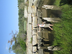
Wading in

Wading in

We made it to the woods on the other end of the clearing.  The trail was still there, clearly visible through the woods.  Past a few more houses.  The woods started to thin out.  The trail started to narrow.  Then it was strangled in a wall of bushes.  Wait, a path crept off to the right.  Around a bend we saw the bridge — or the granite-blocked foundation of the bridge, still solid and vertical.   And, at its closest point, four feet from shore and in two feet of running water. This remind me of a conversation I was having with my friend the other day, she told me about the time she went to San Antonio with her family on a big walk and she got hit by a car! She thankfully found a really good San Antonio injury lawyer to deal with her case. She tells me they were fantastic at dealing with her situation and wrapped it up with the settlement she deserved for her distress, but I digress.

Jen was un-deterred.  She took off her sandals, handed me her backpack and waded in.  The made it to the bridge support.  She climbed the bridge support (in a travel skirt and bare feet!).
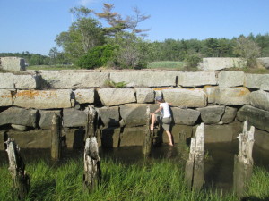
More trail blazing?

More trail blazing?

Then the dream ended.

The other bridge support was eight feet away from the first and through the gap flowed much deeper water.   We would have swum.  Travel skirts and Amphibian shorts are quick drying.  But backpacks, laptops and kindles aren’t.

Still, it was tough to turn around. We could see the roadbed for the path on the other side of the water.  Plus, when you’re walking 12 miles a day — after this misadventure, 14 miles today —  you don’t want to turn around and retrace any steps.  We also didn’t want to walk through anyone’s yard, but arrest for trespassing, in this instance, was seen as preferable to a half-mile of backtracking.
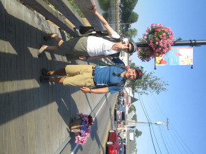
IMG_8619If any of the residents of Governors Way, Kennebunk, ME, called the cops, we had stumbled out of the vicinity by the time the flashing lights showed up.

So there’s another reason to walk.  A little bit of adventure.  Something to tell the grandkids.  And something to pass along to future trekkers: You can follow the Bridle Trail through the golf course, but don’t take it any farther, unless you bring along a few sturdy planks.
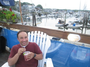
IMG_8624Actually, Kennebunk should fix that bridge and mark the trail.  It’s a great way to get around, and it could only help lessen traffic down in Kennebunkport.  Like most of the other centers we’ve been to on this trip, it was very pretty, but choked with traffic.

We managed to get there, get cleaned up in our B&B, and hit the town for drinks, the a beer sampler and dinner at the famous Federal Jack’s.
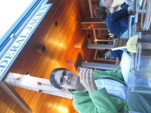
IMG_8630Tomorrow, more decisions and, possibly, more adventures.

Stay tuned.
Who knew there were so many people in Maine?

IMG_8507Here’s the thing about the Sea Latch Inn.  There were a couple of places in the vicinity with Vacancy signs, but we chose to go in there because they advertised “Free Hot Breakfast”.  Little did we know that this would be provided at the Lobster Cove, the very restaurant we’d gone to for lunch the day before, three quarters of a mile south of the hotel.  I’m not sure if you all can appreciate the degree to which Bob and I did not want to start walking south in the morning.  But breakfast awaited, so southward we went, and in the end I was halfway to my 10,000 step goal on the fitbit before we even officially set off for the day.

IMG_8523It was a gorgeous morning on Long Sands, but high tide was approaching, which led to the funny sight of a huge stretch of empty beach, with big crowds of people clustered together on the very upper fringe.  (Not much of Long Sands is around at high tide.)  We started our walk down on the beach, and caught a little of a surfing competition as we went by.

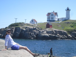
Even though it added substantially to our mileage, we set off down the Cape Neddick peninsula in order to see the Nubble Light at the end.  Lots of people here, too, and it gratified us to see that they were having trouble finding parking spaces.

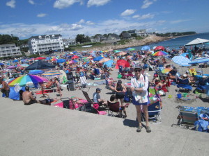
IMG_8528If we thought Long Sands was crowded, that was nothing to Short Sands, on the other side of the peninsula.  It also seems to have a high-tide problem, and every inch of sand seemed to be covered in humanity.  Bob and I were getting pretty warm by this time, so we found a spare bit of rocks on which to put our bags and took a quick dip in the water.  By the time we got out, the tide was threatening that spot, too.

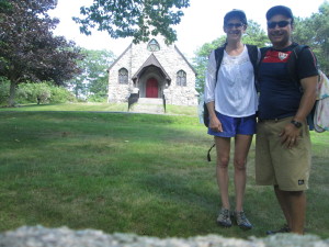
One highlight on Shore Road -- the church where we got married 18 years ago.  We elected not to visit the Cliff House next door, where we had our reception, because of the very long, uphill driveway.

One highlight on Shore Road — the church where we got married 18 years ago. We elected not to visit the Cliff House next door, where we had our reception, because of the very long, uphill driveway.

The water, by the way, is…bracing.  Last time we went to the beach in NH it was surprisingly not-frigid, and checking in at the Sea Latch we heard the woman at the desk tell someone, “The ocean is really warm.  They measured it at 68 this morning!”  (This was not meant for sarcasm.  68 is in fact very warm for the ocean in Maine.)  But alas, by the time we got to the beach, the currents had changed or something and the ocean was back to its usual breathtaking, ankle-numbing temperature.  Still, though it was not entirely pleasant to jump in, it felt very good afterward — and gave us a little chilling that would last well into the walk.
Perkins Cove

Perkins Cove

The walk today was similar to yesterday in that the start was pleasant and fun — some beaches to swim at, a nice restaurant for lunch in Short Sands, lots of beauty around to look at — but then we ended up on a long slog on a rather boring road that was not made for pedestrians.  This time it was Shore Road leading between York and Ogunquit, and for most of its 4.4-mile length it proved to be similar to the dreaded Brave Boat Harbor Road from yesterday.  In this case, we were at least occasionally rewarded with scenic water views.

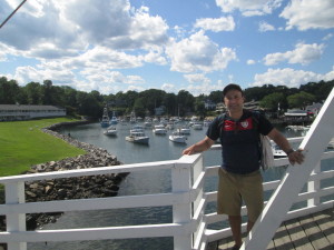
IMG_8561The end of the walk really shone today, though.  After coming into Ogunquit, we took a side street and footbridge into incredibly scenic (and again, incredibly crowded and hard-to-park-in) Perkins Cove.  We took a break to have drinks at a restaurant overlooking the Atlantic (and oddly, staffed entirely with young Eastern European women.  We would later find this to be the case with many places in Ogunquit.)

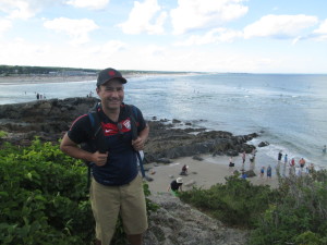
IMG_8564The last mile was down the stunning Marginal Way footpath, which winds along the rocky coastline.  And the best part was that we knew exactly where we were going.  After our debacle trying to find a hotel in York, we decided to book ahead in Ogunquit — and through some kind of tripadvisor loophole were able to book the last available room in a B&B that, like almost everywhere, typically has a two-night minimum.  It’s right in the heart of town and is lovely, with a porch swing looking out over a broad lawn and the busy (oh, yes, it’s incredibly crowded here as well) streets (and also a nice lady who gave us Band-aids for our blisters).  We sat there at the end of the day, eating our ice cream, after a pleasant stroll around town and dinner at a gourmet pizza & craft beer restaurant.

Total mileage (not including side trips): 11.2 miles