We are stretching things to come up with new modes of travel for Jen’s list. You might remember the excitement she experienced taking a golf cart taxi from the dock in Caye Caulker. After that we felt like we had to really scrape to come up with boat-pulled inner tubes to add to her list of conveyances.
How, we asked ourselves, would be continue our progress while stuck out in western Belize, with its highly developed system of taxis and buses?
Well, it turns out that western Belize is the perfect place to find new conveyances.
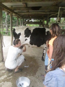
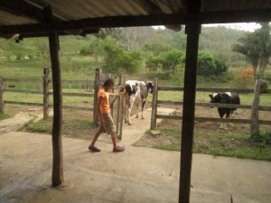
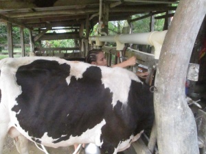
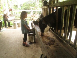
In this part of the world, where Mennonite dairy farms dot the hills over the sister towns of Santa Elena and San Ignacio, they ride cows! At least girls 13 and under do. Our hose granddaughter Cayla showed the girls how, even as her aunt Avril taught them how to milk cows.
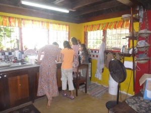
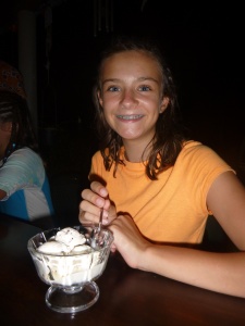
More than that, they got to make ice cream, and repaid Avril for her time and patience (and fresh cream and eggs) by adding to Avril’s recipe book. She said she’ll always think of our family when she makes mint chocolate chip ice cream, since our girls were the ones who suggested using mint from the farm’s garden to make flavor it. (Though the real credit should be shared with our neighbors Cheryl and Kevin, who have made mint chocolate chip ice cream for us on several occasions.)
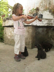
Although we were not able to ride them, the puppies on the farm deserve a mention, as well, because they entertained us so well. And while we’re at it, Avril’s sister Naomi cooked us several great breakfasts and a wonderful taco haystacks dinner, complete with home-made cilantro cream dressing.
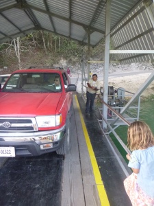
The other new form of conveyance in the San Ignacio area is almost as off-center as cow riding. The hand-cranked car ferry that gives people access to the Maya ruins site called Xunantunich almost seemed superfluous.
The ferry itself spanned more than half the river. However, the driver was very kind, giving us some Mayan historical facts as he took us from point A, on the modern side of the river where the bus stop is, to point B on the side with the antiquities.
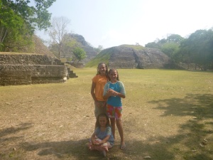
Point B wasn’t actually where the antiquities were, but it was at least the correct side of the river. After the ferry, we still had to walk a mile to the gates of the park and another half-mile to the ruins themselves. Much of the distance was conducted over an uphill grade.
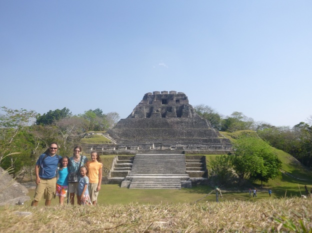
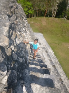
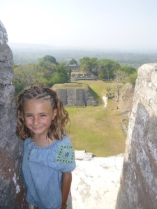
The temperature was over 100 degrees. We nearly wound up sacrifices to the demon god of heat stroke, but we had just enough water and just enough energy. We climbed most of the structures, including the colossal “El Castillo.” From its top we were able to see a village that was in Guatemala.
At least that’s what the guard up there said. This was the guard with no rifle, but with the smart phone blasting hip-hop music. We did not speak with the guard holding the rifle. Apparently, there is some tension between Belize and conquest-minded Guatemala, and El Castillo provides a good vantage point for the Belizians to keep an eye on the Guatemalans.
Otherwise, it was very calm and quiet at Xunantunich, the second-largest excavated Mayan site in Belize. It once supported more than ten thousand residents. Over the hills in Guatemala is Tikal, which once was home to over a million. At the height of the Mayan empire, there were between one and two million people living in Belize. Currently, Belize has about 300,000 residents. The country is littered with historical sites, both above ground and deep inside caves.
Despite our discomfort, it was definitely worth the trek to this site. We would have been missing a major part of the country’s culture — and its appeal — if we hadn’t explored this facet of its history.
Very interesting & informative, Bob. The Mayan excavations are something I would love to see, but I don’t think I could do the walking. Glad you’re enjoying your last few days.